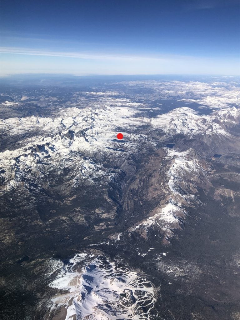
I grew up near the place where the waters of the San Joaquin River emerge from the foothills of the Sierra Nevada. The San Joaquin River begins at Thousand Island Lake high in the south-central Sierra Nevada at an elevation of nearly 10,000 feet. The river’s water flows south-west from this spot through the mountains and foothills and into its valley namesake before turning north, eventually flowing into Suisun Bay, San Francisco Bay and ultimately the Pacific Ocean, covering more than 360 miles on its course from mountains to ocean. The San Joaquin River’s watershed, at more than 15,000 sq. miles, drains a significant portion of central California. The natural annual discharge of the river, before human intervention, was believed to be on the order of 8 million acre-feet. Today, the San Joaquin River is one of the most heavily dammed and diverted rivers in California.
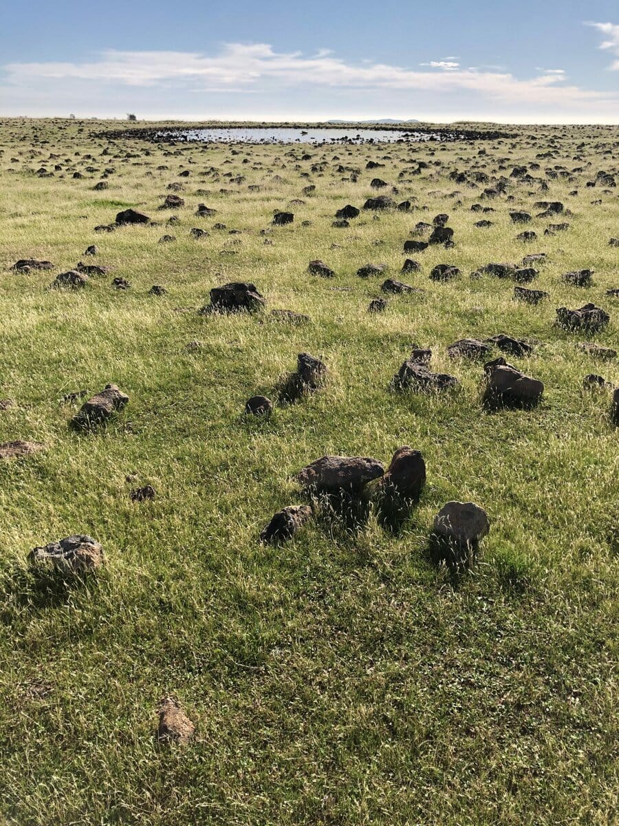
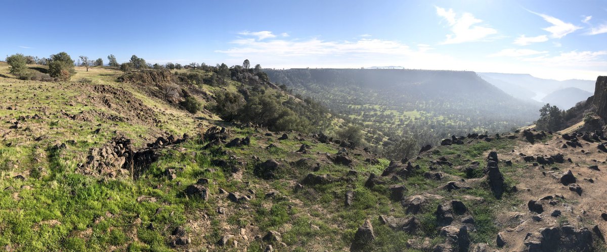
On a warm fall day, we took a hike in the foothills above the San Joaquin River and Millerton Lake to the top of Big Table Mountain, a 1,000-acre ecological reserve managed by the California Department of Fish and Wildlife. At times the 8-mile hike was a challenge to my middle-aged+ conditioning (my wife is much more fit than I am, thankfully, since she carried the lunch), but the views at the top of this volcanic mesa were spectacular and rewarding.
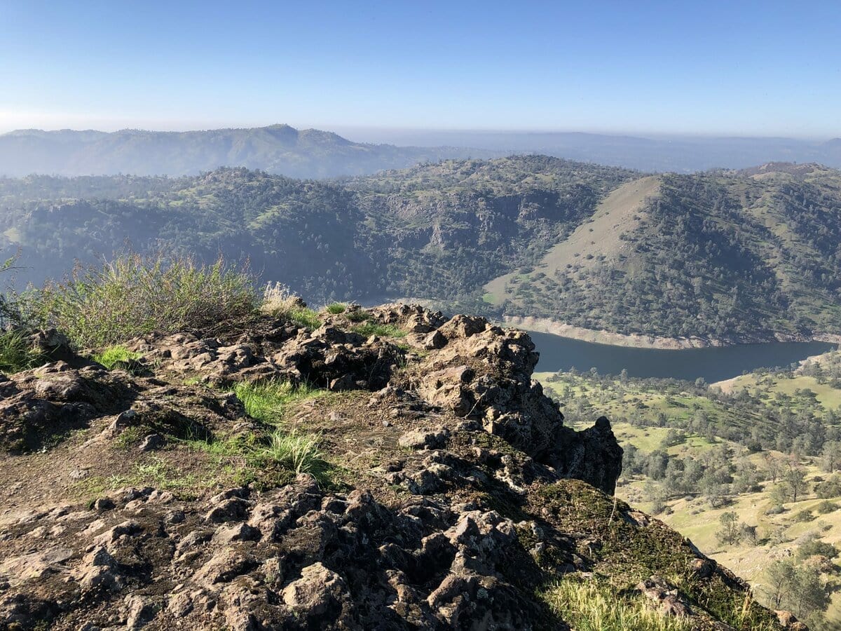
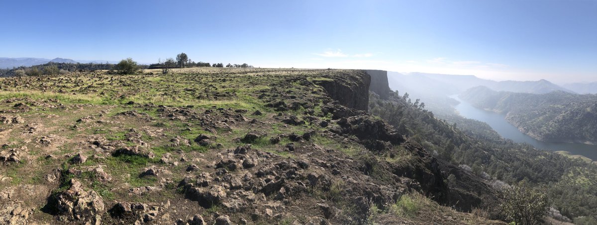
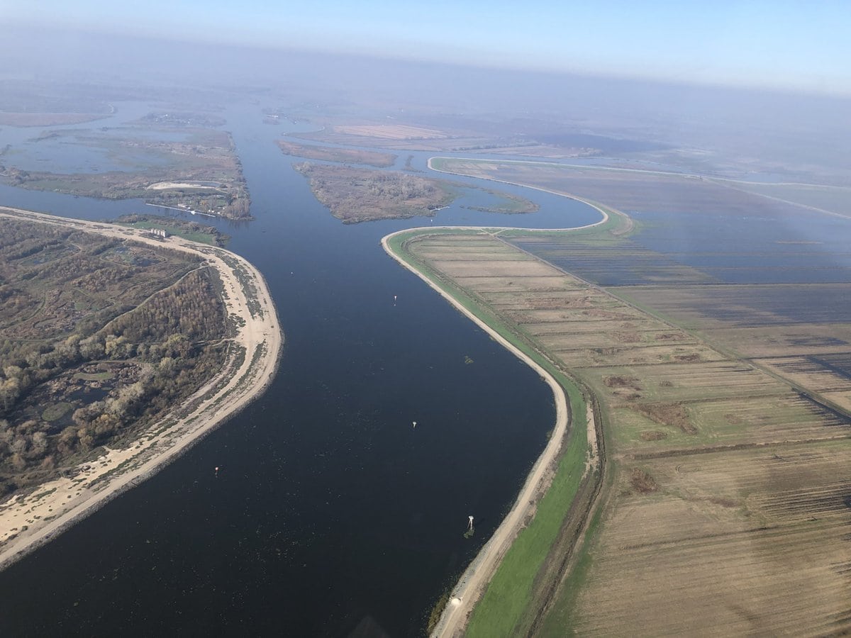
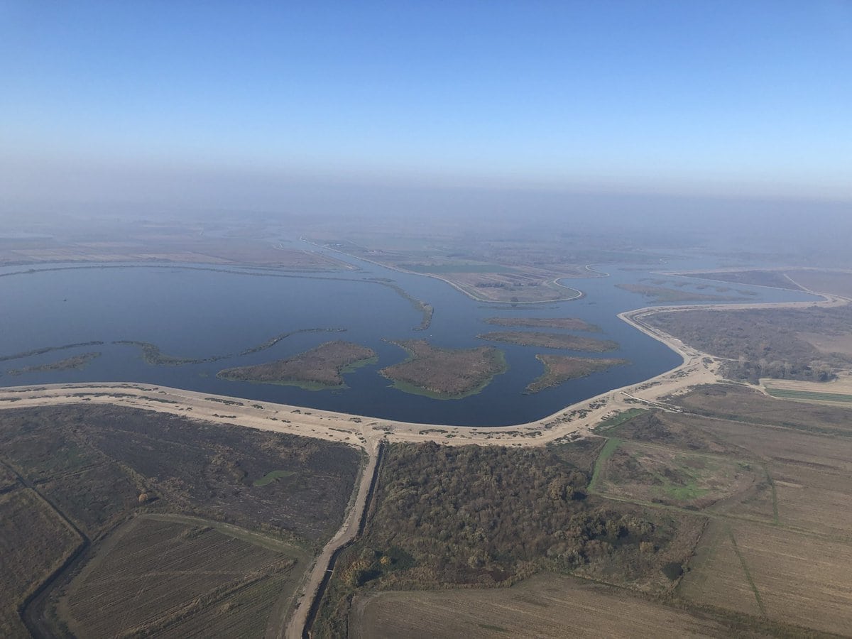
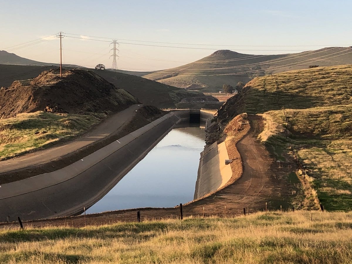
Friant Dam impounds the river in the Sierra Nevada foothills to form Millerton Lake and is one of the 20 dams and reservoirs that comprise the federal water and hydropower project known as the Central Valley Project. Construction of this network of dams, reservoirs, canals, hydroelectric powerplants, and other facilities occurred between 1938 and the 1970s through federal projects undertaken and operated principally by the Bureau of Reclamation, but also included construction by the US Army Corps of Engineers (e.g., Folsom Dam). As a part of the Central Valley Project, the Friant-Kern Canal carries water south from Friant Dam along the east side of the San Joaquin Valley for 152 miles, delivering irrigation water across Fresno, Tulare, and Kern Counties. The complementary State Water Project, constructed and operated by the California Department of Water Resources, began in 1960 and includes the iconic California Aqueduct that runs north to south along the west side of the San Joaquin Valley. The overarching goal of this complex network of multi-purpose federal and state water projects and facilities is to move several million acre-feet of water from the north to the south to support the irrigation of millions of acres of farmland, as well as industrial and urban water use. These two interconnected water systems, combined with thousands of miles of irrigation canals operated by local irrigation districts, arguably represent the largest landscape-scale “replumbing” project in the world.
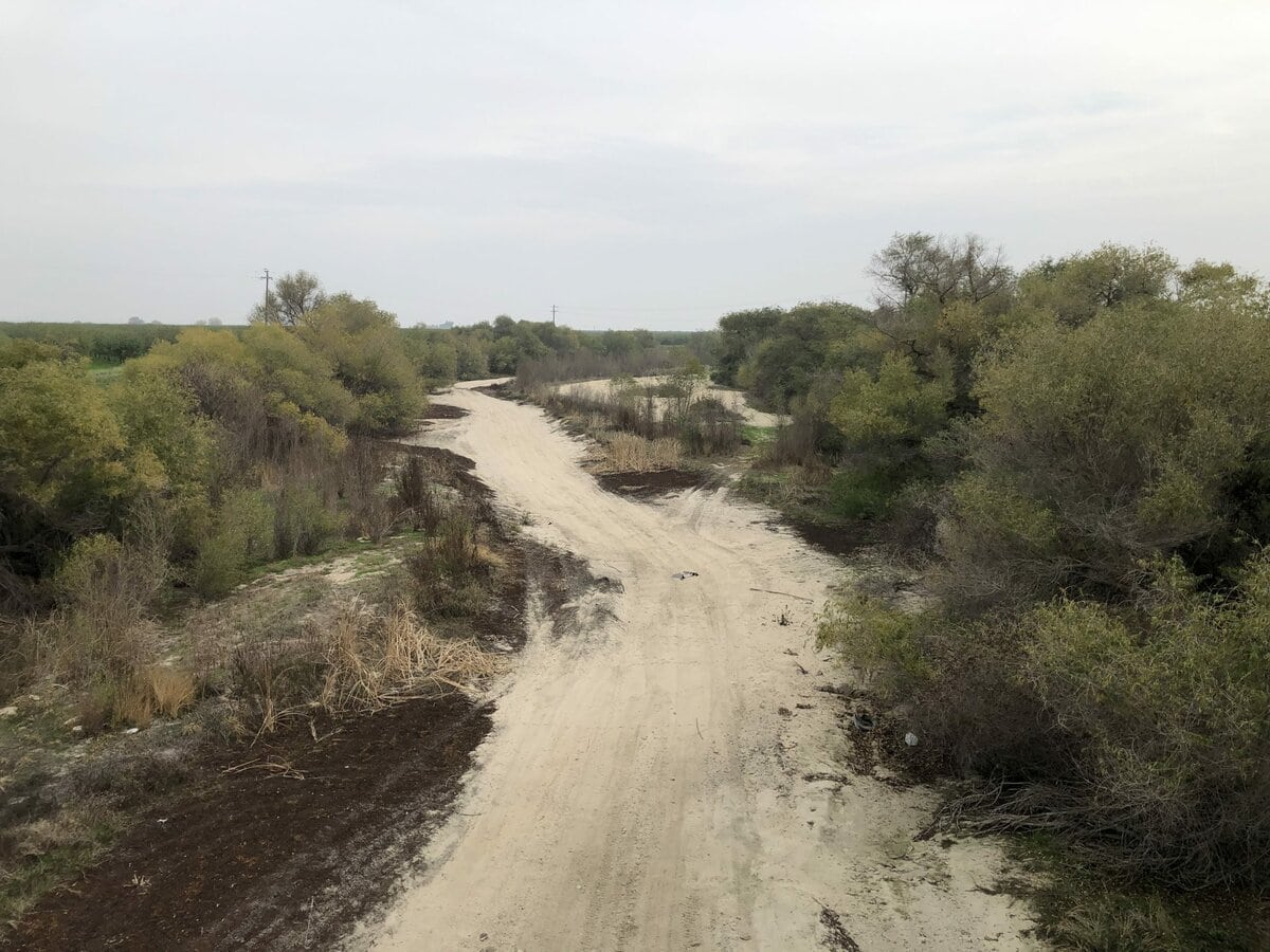

This scale of intervention for something as vital as water has produced a cascade of effects. The delivered water has made the San Joaquin Valley an agricultural powerhouse, but there are other consequences, intended and otherwise. Prior to the construction of dams on the San Joaquin River and its tributaries, the river supported one of the largest runs of Chinook salmon on the Pacific Coast. During this period, as many as 200,000 to 500,000 spawning fish swam up the San Joaquin annually. In the decades following the construction of Friant Dam, with much of the river’s water diverted to agriculture, a 150 mile stretch of the middle river would frequently run dry, along with the historic Chinook run. Mark Arax, in his expansive book, The Dreamt Land—about water and agriculture (and much more) in the San Joaquin Valley—includes the personal account of Walt Shubin, the son of a farmer from Kerman, California, who describes his experiences with the river and salmon:
“When I take people down to the river today and tell them what it used to be like, they look at me like I have rocks in my head because now the river seems more like a canal. Before they built Friant Dam, the San Joaquin was a thing of beauty. I can’t exaggerate how beautiful it was.” Shubin and his older brother would camp on the river and the sound of Chinook salmon swimming upstream would wake them up during the night. “The next morning, when we could finally see them, they were making a wake that looked like a motorboat. I don’t have any photographic proof. No one I knew had cameras in those days. It’s all just memories now.”
Efforts have been underway for several years to restore flows and conditions in the San Joaquin River for Chinook and other species. The “big” opportunity now and in the future (including for engineering practice), from my point of view, is to use Engineering With Nature principles and practices to achieve a new balance between natural and human systems, and by doing so build a more sustainable and resilient future for the planet and people.