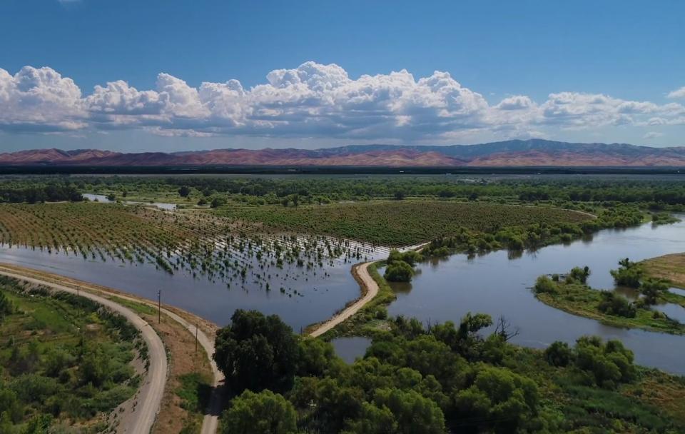
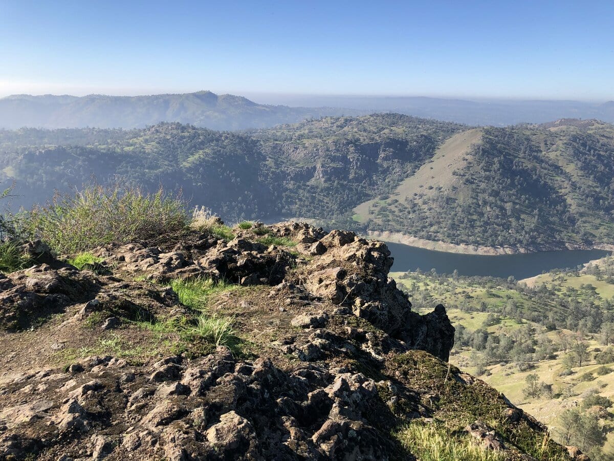
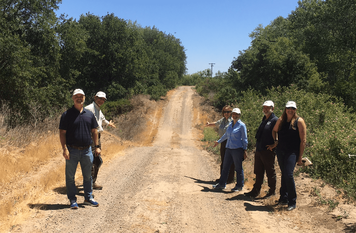
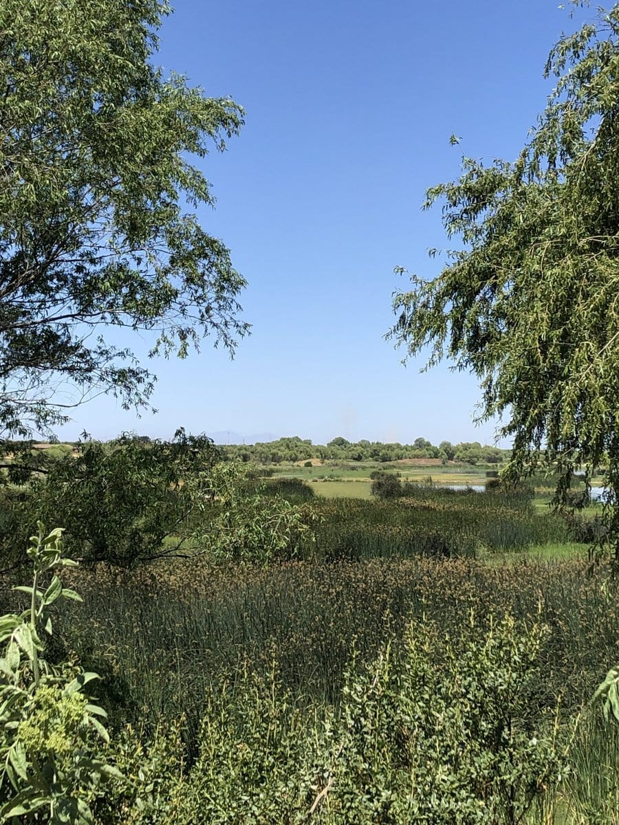
In May of 2021 I visited the San Joaquin River National Wildlife Refuge near Modesto, California. I grew up near the San Joaquin River about 100 miles south of the refuge, which was established in 1987 and is managed by the US Fish and Wildlife Service (USFWS). The refuge encompasses about 7,000 acres and is a part of a large network of refuges in the area, totaling 45,000 acres, called the San Luis National Wildlife Refuge Complex. Two of the San Joaquin River’s tributaries, the Tuolumne and the Stanislaus Rivers, meet the San Joaquin at this place, creating a diverse and important natural landscape where rivers meet woodlands, wetlands, and grasslands. The refuge and the neighboring Dos Rios Ranch Preserve are products of a collaboration between the USFWS, the California Department of Water Resources, The US Army Corps of Engineers, and River Partners, a non-profit engaged in river and riparian restoration in the region.

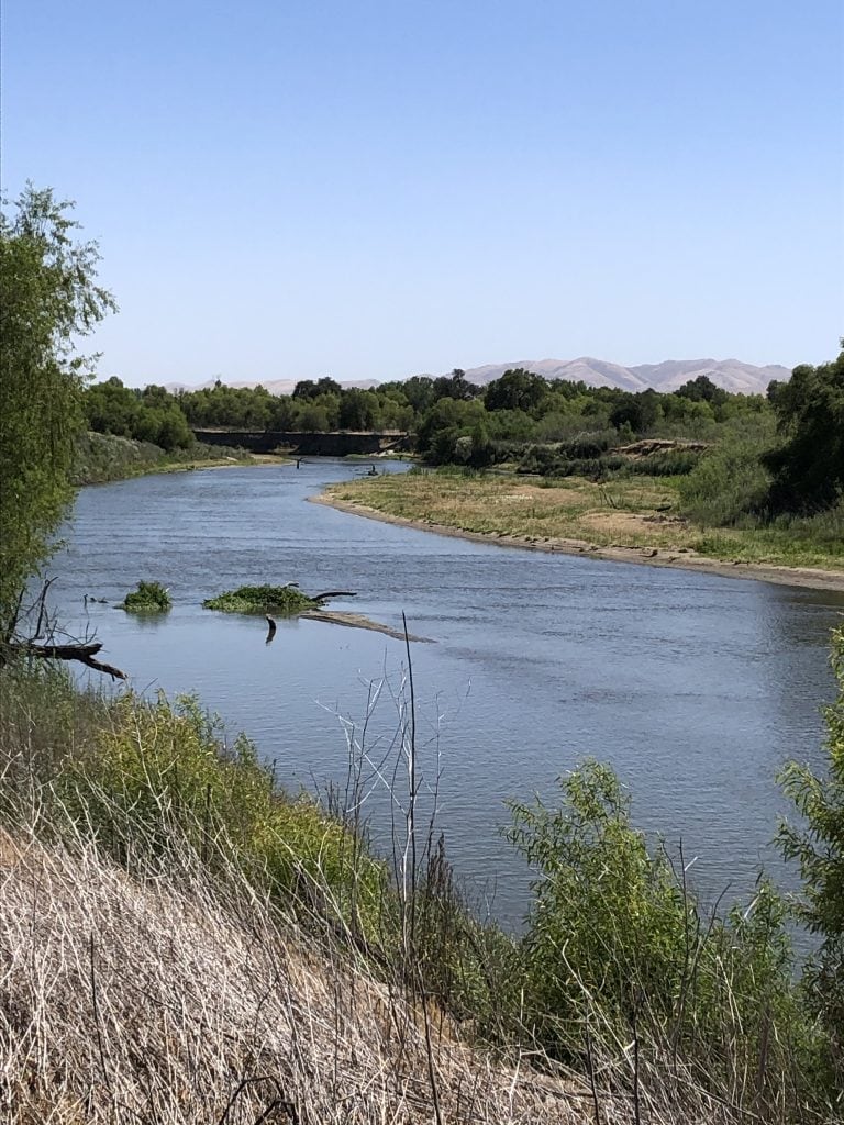
Flooding in the area in 1997, that included levee overtopping and failures, inundated thousands of acres. Evaluation of nonstructural alternatives to reduce flood risks identified 3 areas, “the Three Amigos,” totaling more than 3,000 acres of flood-prone agricultural properties that were subsequently sold by the owners to wildlife interests. River Partners’ Dos Rios Preserve and its 2,000 acres is the largest public-private floodplain restoration project in California. I was struck by the landscape emerging from these restoration efforts. The land shows the marks of its previous incarnation as farmland protected from high flows on the rivers by berms, levees and pump stations that are now being used to manage the restoration.
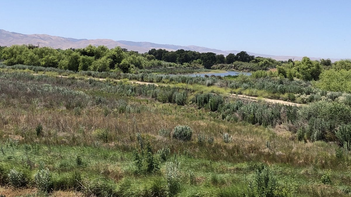
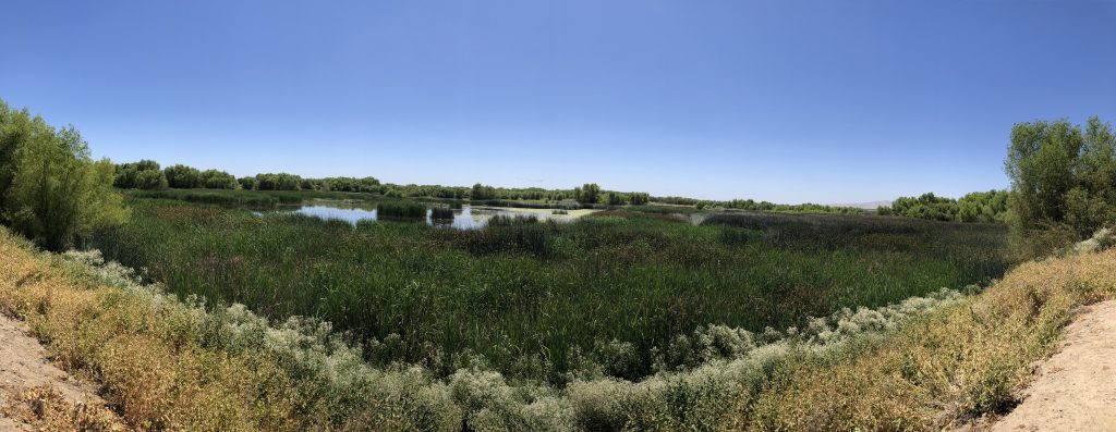
Over the last 15 years, 600,000 native trees have been planted as a part of the restorations. The landscape that is emerging from these efforts is getting close to what I imagine Pedro Fages and his companions saw as they became the first Europeans to venture into the San Joaquin Valley in 1772. At one point during our visit on a warm spring day, we came across a group that had traveled from Southern California to visit the refuge for the first time. We asked them what they thought. I wrote down what was said because it made a strong impression on me. One man said, “It looks prehistoric and heavenly. We’re visiting what we’re losing…it’s painful too.”
There are over 500 refuges and 95 million acres of land within the National Wildlife Refuge System, a system that was created by President Roosevelt in 1903. More than 53 million people visit refuges across the system every year, visits that generate nearly $2.4 billion in consumer spending and support over 35,000 local jobs. Refuge staff at the San Joaquin River National Wildlife Refuge estimate that they get 20,000 visitors annually. In January 2021, President Biden signed the Executive Order on Tackling the Climate Crisis at Home and Abroad. One of the provisions of this Executive Order (Sec. 216) establishes a national goal for conserving at least 30% of our lands and waters by 2030. Achieving this goal could produce a host of conservation and environmental benefits. By seeking opportunities to “align natural and engineering processes” achieving the 30×30 goal could also produce a host of engineering and economic benefits for flood risk management by providing space for water and flood storage, drought resilience through groundwater recharge, climate change mitigation through carbon sequestration, and human health and wellbeing by providing all communities with access to nature. I saw tangible evidence of these opportunities at the San Joaquin River National Wildlife Refuge. My visit to the refuge has inspired me to think about how Engineering With Nature could support scaling-up restoration and nature-based solutions across the San Joaquin Valley and the nation, to achieve a balance between humans and nature on our shared landscapes.