The San Francisco District’s Pajaro River Flood Risk Management Project (Pajaro) will utilize nature-based engineering solutions to provide critical flood risk reduction for the City of Watsonville, the Town of Pajaro, and the surrounding agricultural areas in Santa Cruz and Monterey Counties.
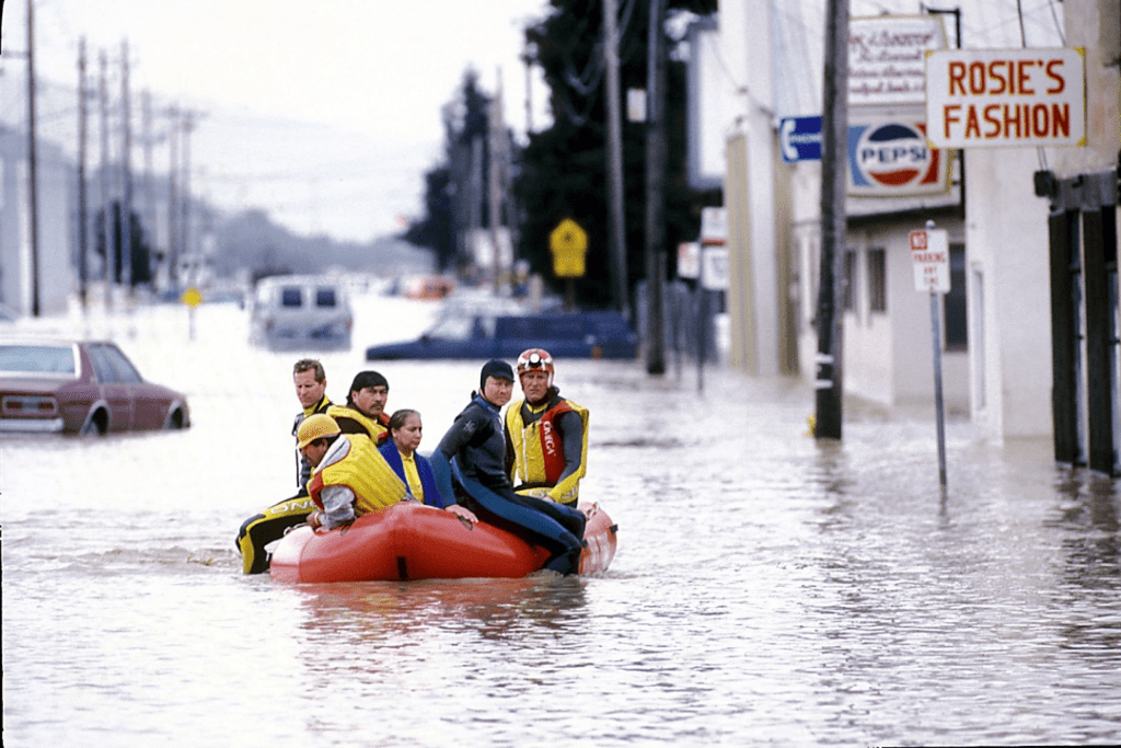
Currently, the Pajaro River levees provide an 8-year level of flood risk reduction to the surrounding communities, one of the lowest of any federal flood control system in California. Since the construction of the levees in 1949, the river has flooded surrounding communities and agricultural land repeatedly. A flood in 1995 caused loss of life, displacement of residents, almost $100 million in damages, and disruption to industry and work. Damage-inducing floods occurred again in 1997 and 1998. Levees nearly broke again during storms in 2017.
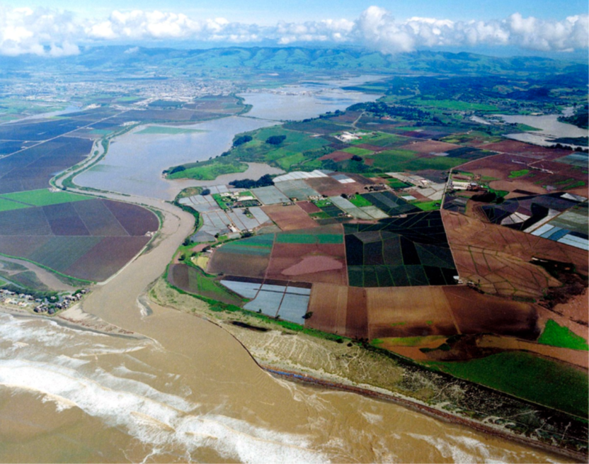
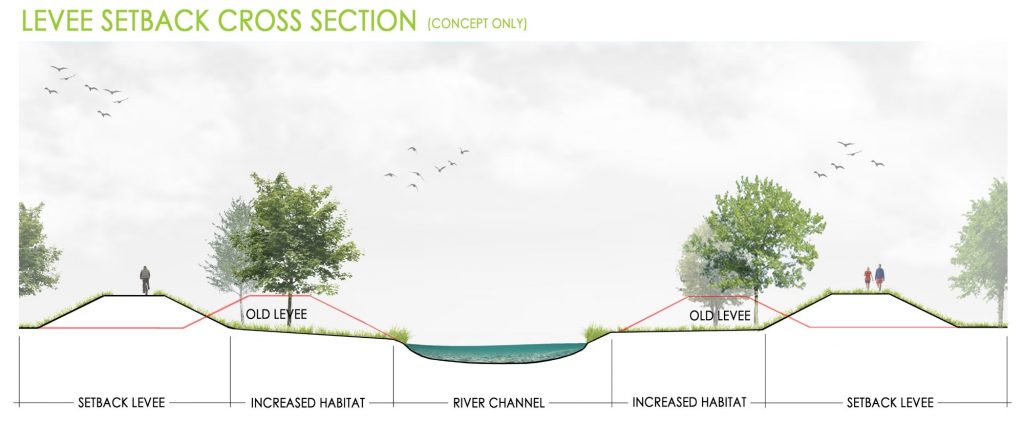
The Pajaro project will enhance the current levee system by building setback levees along portions of the project area. Setback levees are installed further away from the Pajaro River channel, expanding the floodplain area and giving the river more space to meander and move from year to year. This extra space improves flood protection for local communities, promotes a more dynamic and ecologically rich river system, protects some of the most productive farmland in the world, and provides recreational and water supply benefits. It also reduces the need to maintain vegetation for flood flow conveyance, compared to what is required now, without the project in place.
The Pajaro project is a partnership between the Corps and local agencies in Monterey and Santa Cruz Counties.
Social Benefits
The per capita income in Watsonville, Pajaro, and the surrounding communities is less than half the state and national averages. Residents, a majority of which are Latino/a/e, face a high housing cost burden worsened by past redlining and segregation, and a disproportionately high risk of adverse impacts from natural hazards. Since property values and averted damages are typically used to quantify the benefits and justify flood risk management projects, this area has suffered from lack of infrastructural investment, in part, due to depressed property values.
The Pajaro project will overcome historic disinvestment to provide flood protection to local communities. The project improves public safety and buys down the social and financial costs of flooding on residents. Additionally, the project will provide improved recreational opportunities for residents along the lower Pajaro River watershed.
Environmental Benefits
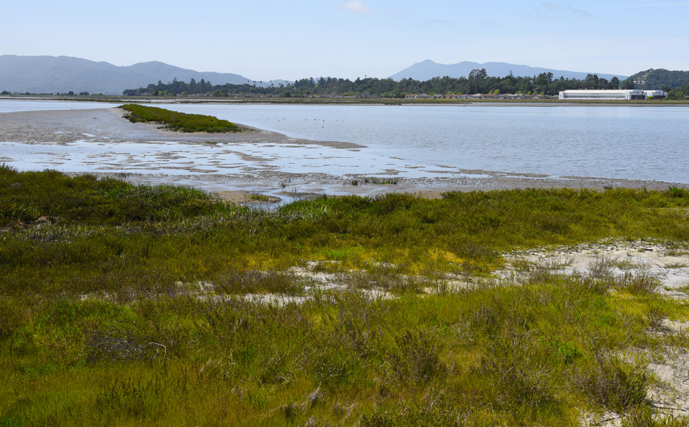
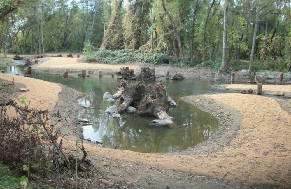
The Pajaro project will utilize setback levees to connect the river to historic floodplains and enhance coastal watershed function. An expanded and more frequently inundated floodplain mosaic will enhance biodiversity and provide enhanced growth opportunities and habitat for the estuarine species including south-central coast steelhead, California red-legged frogs, and southwestern pond turtles. In addition to supporting and maintaining a thriving ecosystem, the Pajaro project will support groundwater recharge efforts and enhance water quality treatment opportunities through biogeochemical process, reducing the risk of transporting contaminants during flood events.
Economic Benefits
The Pajaro project will protect some of the most productive farmlands in the world which supports a billion dollar per year agriculture industry within the Pajaro Valley. The project will also provide flood risk reduction for residents of Watsonville and Pajaro in addition to the infrastructure, municipal properties, and industrial and commercial businesses which are vital to the community and the local agricultural-based economy. The Pajaro project will leverage funding from local, state, and federal partners to maximize damage reduction and prevent disruption to local investments.
EWN on the Road: In Search of Balance on the Pajaro River

