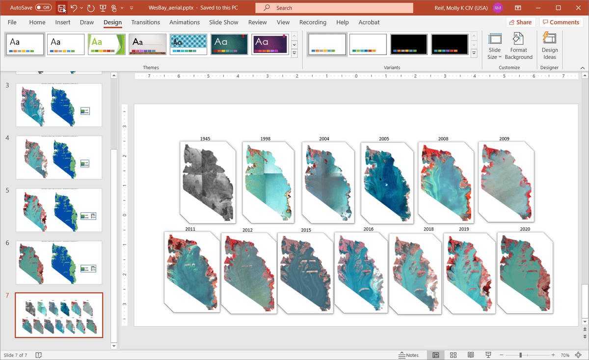
There is an increasing opportunity and number of EWN® projects seeking support to use remotely sensed data and geospatial methodologies to help quantify environmental benefits. Remote sensing approaches are expected to be instrumental in illustrating and quantifying critical EWN® concepts such as habitat developed as a result of strategically placed dredge material or integrated into engineered structures, NNBF supporting coastal resilience, ecosystem services supporting engineering function, and shoreline conditions from native plantings. This presentation will highlight the following: 1) geospatial metrics and methods that can be extracted from and applied to remote sensing data, 2) an example geospatial workflow developed for the Atchafalaya Big Island Mining Project, and 3) a range of value-added products developed for data-rich case studies across a range of EWN® project types and phases. Ultimately, a final report and StoryMap will help showcase remote sensing capabilities within the EWN® project portfolio to assist project practitioners align appropriate remote sensing data and methods with specific project needs.
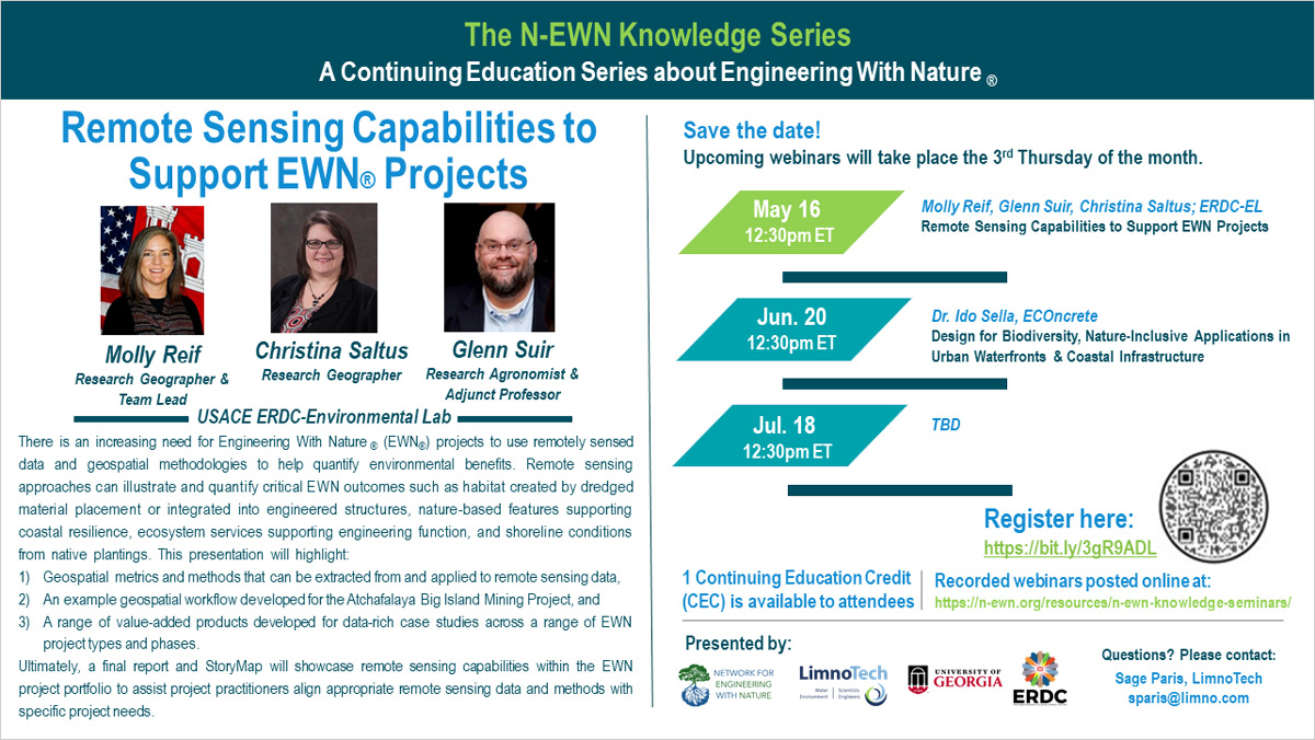
The Network for Engineering With Nature® (EWN) invites you to the N-EWN Knowledge Series: A Continuing Education Series about Engineering with Nature—Remote Sensing Capabilities to Support EWN Projects with Molly Reif, Glenn Suir, and Christina Saltus; all of ERDC-EL. This 1-hour Zoom webinar took place May 16, 2024 at 12:30pm ET.
For previously recorded seminars, please visit the N-EWN Seminars page.