By Paula E. Whitfield, NOAA NCCOS
We know we can build a wall around the island, but given its archaeological and historic significance, we want to understand what natural approaches would work for this site.
Rebecca Cole-Will, Chief of Resource Management, Acadia National Park and Saint Croix Island National Park, National Park Service
The History
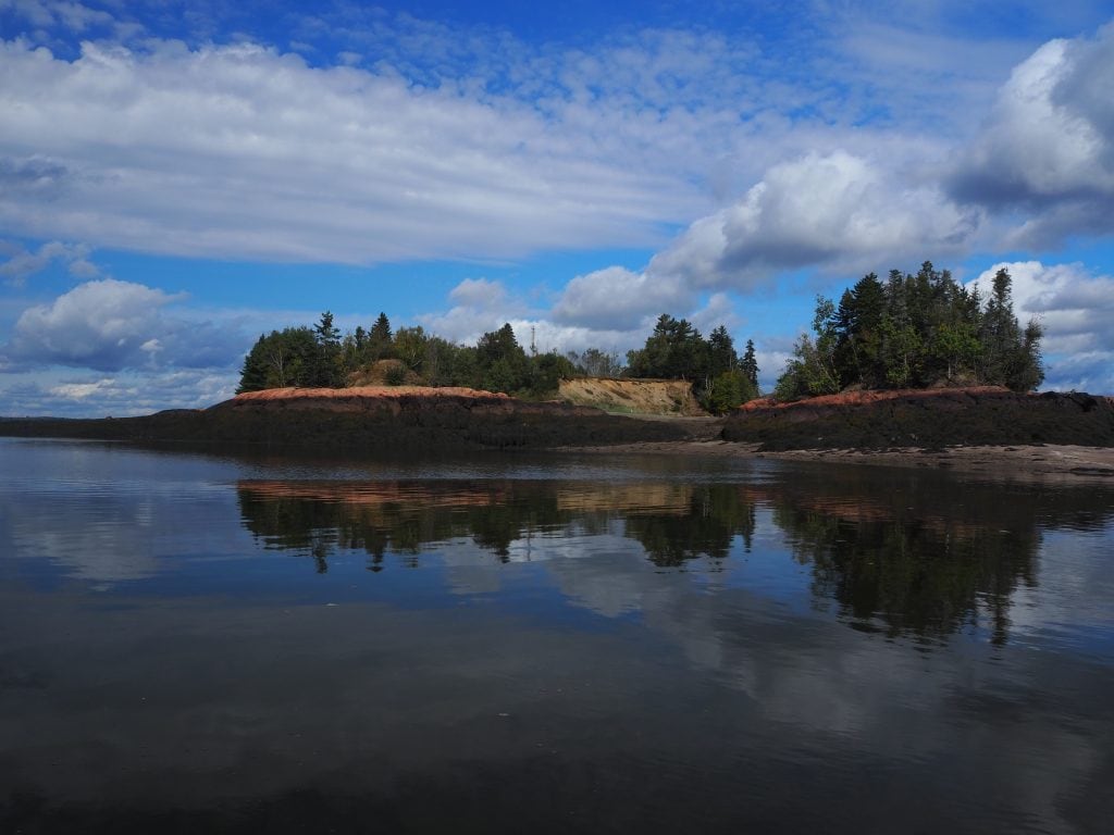
In June 1604, French Explorers Pierre Dugua, Sieur de Mons, Samuel Champlain and their team of 77 men, sailed up the Saint Croix River, the present day border of Canada and the United States, desperately seeking a safe haven to ride out the upcoming winter, with the hope of making a permanent settlement. Saint Croix Island, in Passamaquoddy Nation ancestral territory, with its high cliffs, proximity to the mainland, and abundance of trees, appeared to be ‘easily defensible’ and optimal for building a settlement according to Champlain. Tragically, the French were mistaken. By the following spring, half of the settlers would be dead and buried on the island. However, the surviving inhabitants eventually settled in nearby Port Royal, Nova Scotia ultimately founding New Canada. The 6.5-acre, uninhabited island is the first known European settlement outside of Florida and is managed by the National Park Service (NPS) as an International Historic Site under a formal agreement with Parks Canada and in consultation with the Passamaquoddy Tribe.
The Problem
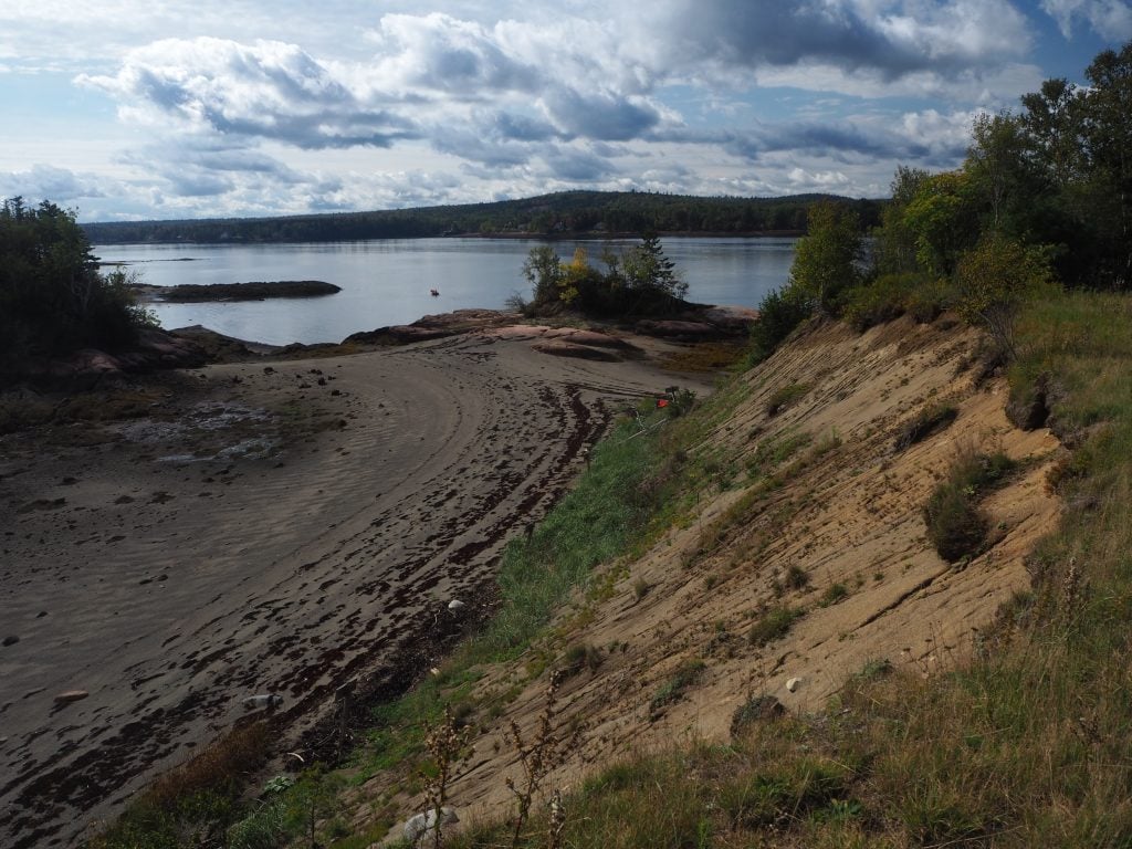
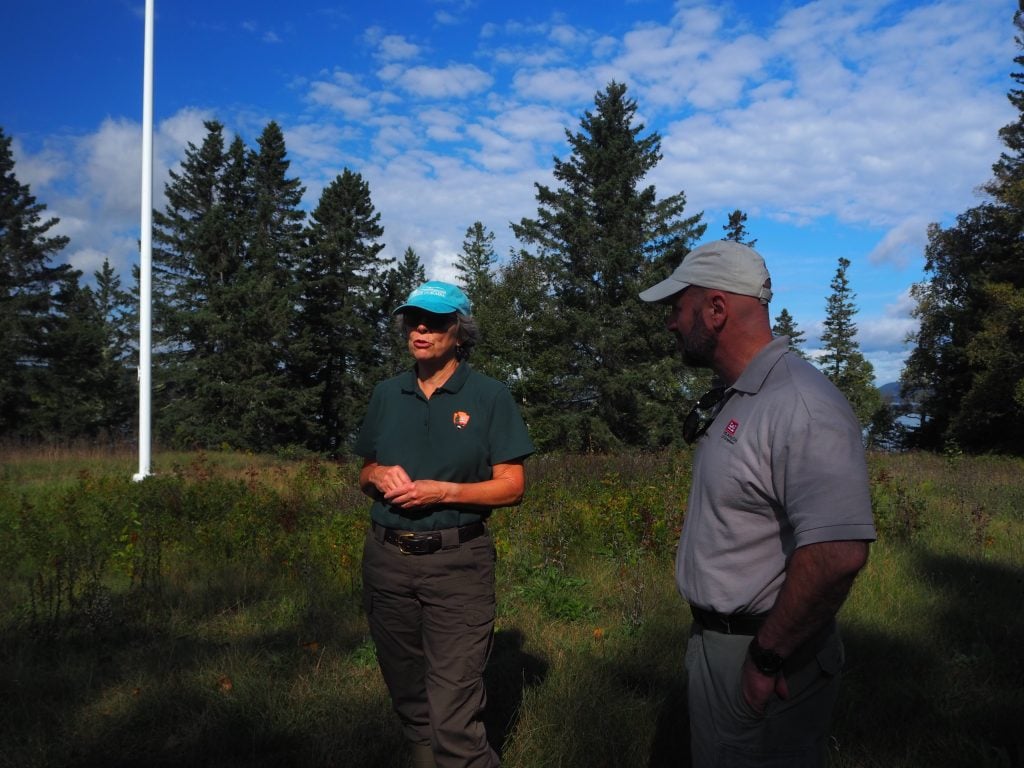
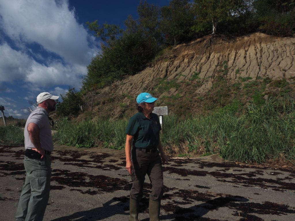
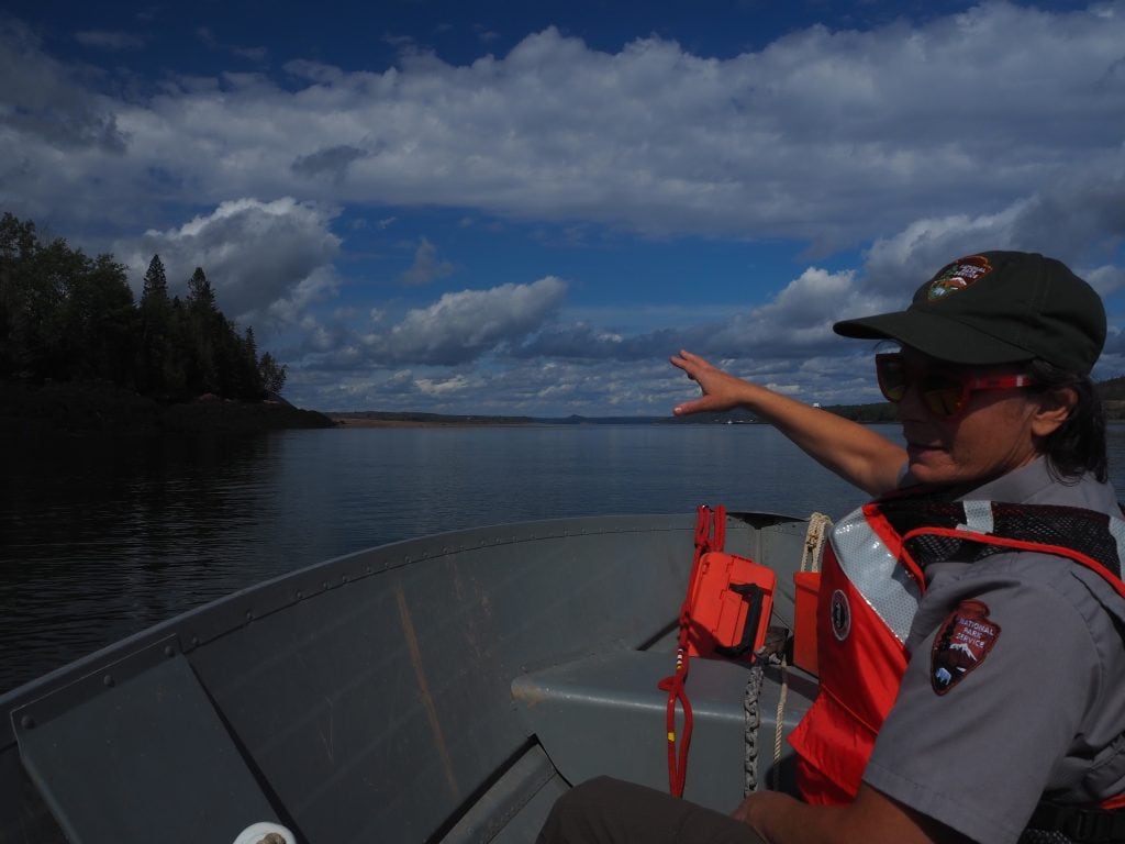
Over the centuries, erosion and sea level rise have taken their toll on the island, threatening the original ‘habitation’ footprint and the ancient cemetery, that is the final resting place of 35 French settlers. “Between 2015 and 2016 the island lost 233 cubic meters [305 cubic yards] of sediment” explained Becky Cole-Will, Chief of Resource Management for Acadia and Saint Croix Island National Parks, during a preliminary site visit that occurred September 28, 2021. Situated in a challenging region known as a ‘cold region’, the Island experiences swift tidal currents, a 20+ foot tidal range, and winter storms and ice that batter the island. “We know we can build a wall around the island, but given the archaeological and historic significance, we want to understand what natural approaches would work for this site,” offered Cole-Will. This is exactly what project partners under the leadership of the US Army Corps of Engineers’ Engineering With Nature® (EWN®) Initiative are planning to do.
The Initial Approach
A multi-disciplinary, international coalition of partners has been assembled to leverage their expertise and resources to conduct research that informs potential options for use of natural and nature-based features to stabilize and mitigate the ongoing erosion at the site. “EWN will bring together engineers, landscape architects, hydrodynamic modelers and other scientists to study the site’s physical processes and explore options for use of nature-based solutions to help maintain the island footprint” said Dr. Jeff King, Deputy National Lead and Program Manager for EWN. “We will also rely on the knowledge of local stakeholders and representatives of the Passamaquoddy Nation to inform project designs and the approach.” Partners include the NPS, Passamaquoddy Tribe, National Research Council of Canada, Parks Canada, National Oceanic and Atmospheric Administration, EA Engineering, Science and Technology, Inc. University of Virginia, Dredge Research Collaborative, and USACE. Natural alternatives identified as part of this collaborative research effort for Saint Croix Island will be transferable to other projects in cold regions while also advancing the use and acceptance of natural approaches in these challenging environments.
For more information about this project, please contact Jeff King.
Exhibits
St. Croix Island one pager, 2 Feb 2022 (PDF)
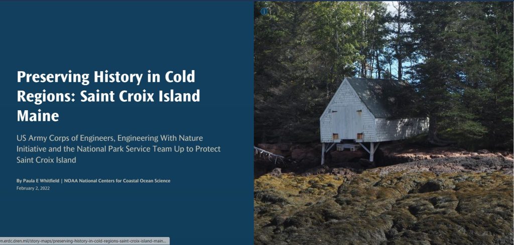
A Story Map
Discover how innovative, nature-based solutions are being implemented to enhance coastal resilience, protect natural habitats, and support community sustainability.
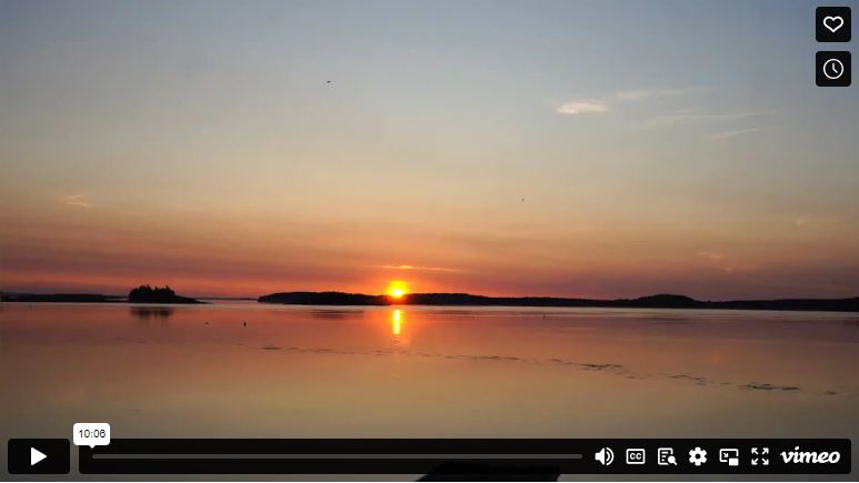
A Video
Saint Croix Island, a 6.5-acre uninhabited island, holds immense historical significance. Partners explore effective NBS alternatives for this unique site.
References
Saint Croix Island International Historic Site (U.S. National Park Service) (nps.gov)
Saint Croix Island Maine History, Archaeology, and Interpretation. 2012. Edited by Steven R. Pendery, published by The Maine Archaeological Society and Maine Historic Preservation Commission.


