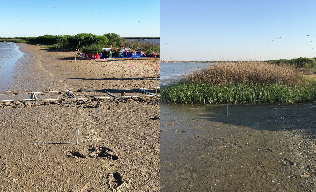
The Heislerville Dike in New Jersey’s Heislerville Wildlife Management Area faced imminent failure due to wave action, prompting the USACE Philadelphia District (NAP) to undertake a Beneficial Use of Dredged Material (BUDM) nourishment project in FY 24. NAP’s goal was to enhance the wetlands adjacent to the dike to provide a buffer from the wave action and other hydrodynamic forces and, therefore, increase resiliency to breaching. Approximately 74,000 cubic yards of material were placed in December 2023, with elevation gains observed at the placement site due to the presence of coarse sand and oyster shell.
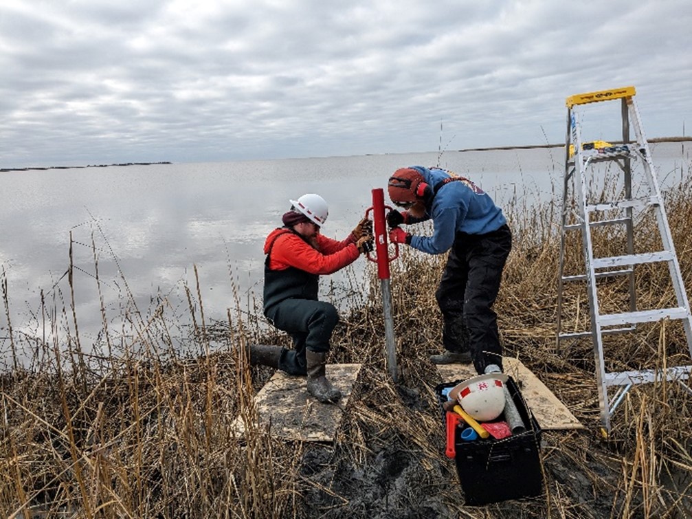
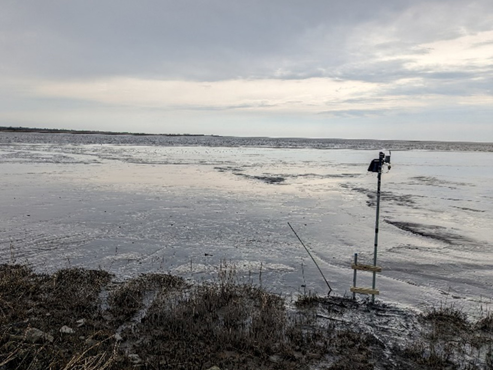
To monitor site morphology, ERDC’s Coastal and Hydraulics Laboratory Researchers, along with Louisiana State University (LSU), deployed a CorpsCam network comprising three trail cameras. After a brief overview of the system and tips from the CorpsCam work unit, the team was able to construct mounting posts and install the three cameras in under 10 hours over 2 days. These cameras capture near-real-time imagery of the direct placement area, adjacent shoreline, mudflat, and tidal creek, aiding in project evaluation and stakeholder engagement. Near-real-time imagery is available at https://coastalimaging.erdc.dren.mil/CorpsCam under Maurice River. Historical imagery can be acquired via MATLAB/Python Code provided on the same website or contact with CorpsCam PI.
This research effort directly addresses the need for improved methods and best practices for monitoring projects in wetlands and shallow water environments through remote sensing, contributing valuable insights to environmental management and infrastructure development.
Engineering With Nature® (EWN®) Principal Investigator Dr. Brian Harris (Brian.D.Harris@usace.army.mil)
CorpsCam Principal Investigator Dr. Brittany Bruder (Brittany.L.Bruder@erdc.dren.mil).

