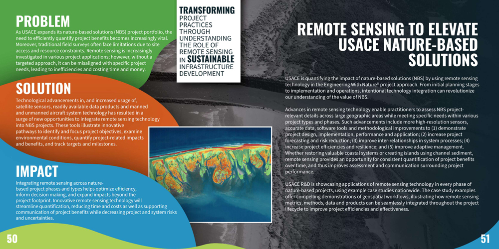
USACE is quantifying the impact of nature based solutions by using remote sensing technology in the Engineering With Nature project approach. From initial planning stages to implementation and operations, intentional technology integration can revolutionize our understanding of the value of NBS.
Advances in remote sensing technology enable practitioners to assess NBS project-relevant details across large geographic areas while meeting specific needs within various project types and phases. Such advancements include more high-resolution sensors, accurate data, software tools and methodological improvements.
The integration of remote sensing technology facilitates several key objectives:
- Demonstrating project design, implementation, performance, and application.
- Enhancing project forecasting and risk reduction capabilities.
- Improving the understanding of inter-relationships within system processes.
- Increasing project efficiencies and resilience.
- Improving adaptive management strategies.
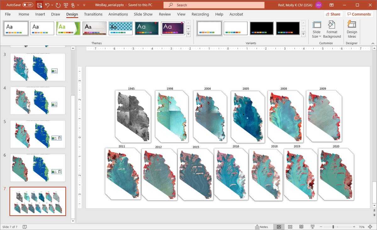
Whether restoring valuable coastal systems or creating island using channel sediment, remote sensing provides an opportunity for consistent quantification of project benefits over time, and thus improves assessment and communication surrounding project performance.
USACE Research and Development (R&D) is showcasing application of remote sensing technology across all phases of nature-based projects, using example case studies nationwide. These examples showcase metrics, methods, data, and products that seamlessly integrate throughout the project lifecycle, ultimately improving project efficiencies and effectiveness. See this work featured in the Civil Works R&D Value to the Nation, 2024 Edition, page 50.


