In a collaborative effort, Engineering With Nature researchers joined forces with researchers from Virginia Tech and the University of Florida to investigate the establishment of a newly nourished mudflat at the Heislerville Dike in New Jersey.
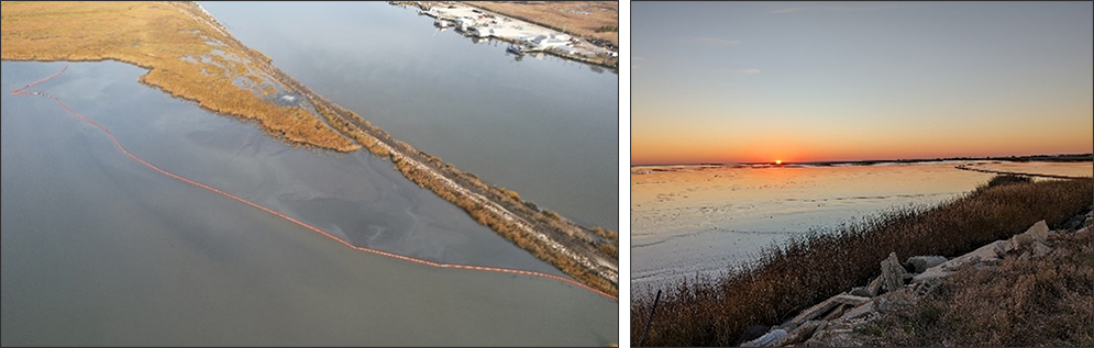
The Heislerville Dike, situated in the Heislerville Wildlife Management Area, faced an imminent risk of failure due to wave action from the adjacent Delaware Bay. To address this challenge, the USACE Philadelphia District recently completed a Beneficial Use of Dredged Material (BUDM) nourishment project, utilizing material from the Maurice River federal navigation channel to fortify the marsh and mudflat in front of the dike.
The dike, a crucial element in preventing wave-induced erosion, protects valuable habitat ponds behind it. The BUDM placement involved dredging approximately 74,000 cubic yards of material, resulting in significant elevation gain due to the presence of coarse sand and oyster shell.
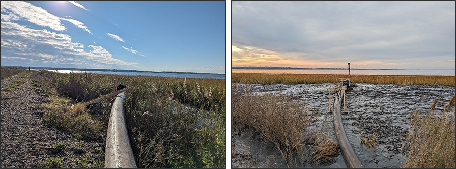
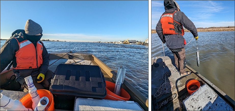
Given the complexity of monitoring coastal mudflats, the research team, led by Dr. Brian Harris from ERDC-CHL, partnered with Dr. Nina Stark from the University of Florida and Freddie Falcone from Virginia Tech. The team employed free-fall penetrometer (FFP) measurements and soil core collection to assess the relative soil strength and compare the nourished mudflat with an adjacent native mudflat. The FFP measurements, a rapid geotechnical engineering method, provided a high-resolution dataset with over 80 unique points across both mudflats in less than three hours. This dataset will be instrumental in analyzing the early site geomorphology and understanding how the nourished mudflat develops over time.
This research aligns with the need to identify methods and best practices for monitoring and surveying projects in wetlands and shallow water environments through remote sensing. The findings from this investigation will contribute valuable insights to the broader understanding of coastal resilience and the beneficial use of dredged material.