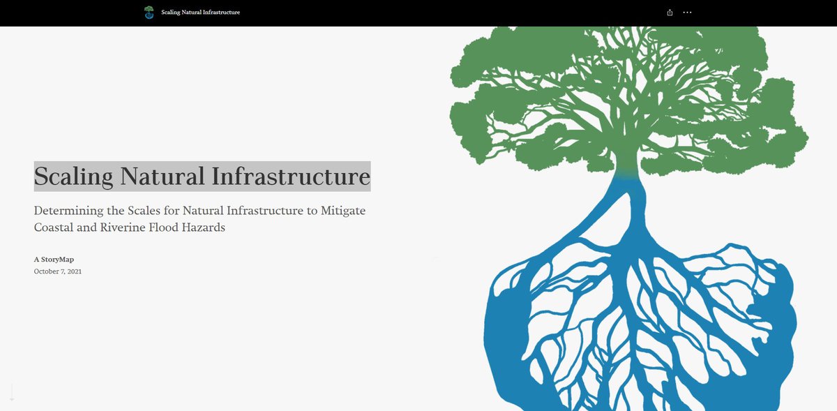
Traditional approaches to reducing the risk of coastal and riverine floods include the construction of conventional infrastructure (CI) such as levees and floodwalls. Over the last decade, there has been a push towards Engineering With Nature (EWN) and the use of natural infrastructure (NI) (wetlands, barrier islands, coastal dunes, forest, riparian buffers) into resiliency and risk management planning to reduce flood impacts rather than relying on gray infrastructure alone. However, the relevant spatial scales and dimensions of NI need to be assessed to maximize flood protection benefits for a range of flood hazards and related risks. The spatial scale refers to how large or small a NI project must be to be most effective. High-performance, high-fidelity, computer models of coastal and riverine floods provide a means to develop strategic and controlled digital environments to test how different NI features, combinations, and their size can provide flood risk reduction.
Objective
To answer the following Research Questions; 1) Traditionally, what types of NI have been used to reduce coastal and riverine flooding? 2) What NI characteristics are important to reduce flooding for a range of flood magnitudes? 3) What non-local effects do NI have outside the immediate region? 4) How should NI be configured for optimal configuration, including hybrid solutions?
Approach
We plan to test how coastal and inland hazards respond to NI at various sizes and conditions, through idealized numerical experiments. An idealized study allows controlled experiments to take place. For example, a single parameter can vary (tidal creek depth, for example) and we can assess how that change (different tidal creek depths) changes the system (change in water level or wave energy). In a similar way, we can vary channel sinuosity (curvature or bend), the height of the marsh surface, and marsh slope (how quickly does the marsh surface increase over a certain distance – think rise over run).
Deliverables
We will identify recommendations for length-scaling needed to accomplish risk reduction goals using NI. Idealized coastal and fluvial model studies will be analyzed, as well as a “what if” scenario for the North Carolina OBX, and military bases.