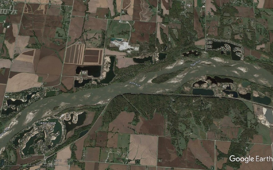
Large navigable rivers have been modified in ways that channelize main channels and isolate off-channel aquatic areas to concentrate flow to create safe and efficient navigation channels. Channelization eliminates natural island forming processes and degrades existing island and secondary channel habitat. Concurrent levee building to reduce flood risks to agriculture and urban areas isolates seasonal floodplain habitats and ecological processes such as fish spawning and rearing, sediment and nutrient exchange, and terrestrial habitat forming processes. The outcome for many river reaches is uniform sand bed channels, armored banklines, numerous river training structures, swift currents, extreme stage variation over 50-ft in some reaches, and associated loss of historic aquatic and floodplain habitat that provided important ecosystem services.
Multiple ecosystem restoration and navigation channel maintenance activities in USACE inland waterways can be improved with a better understanding riverine island habitats. Ecosystem restoration efforts have been ongoing for decades to manage dike structures and place dredged sediment to improve fish, macroinvertebrate, freshwater mussel, and aquatic vegetation habitat in main channel, secondary channel, and backwater aquatic areas. Floodplain and island ecosystem restoration frequently includes using navigation channel sediment in vegetation management and plantings to support resident and migratory wildlife. Navigation operations in the past would typically channelize river reaches with uniform structures to create a highly efficient channel. It is now recognized that there are opportunities to maintain navigation channel competence while increasing aquatic habitat benefits. Navigation training structures in many USACE waterways are being updated to achieve safe and efficient channels while also providing increased aquatic and terrestrial habitat benefits.
This project will explore fluvial processes in natural and constructed habitats in high flow, navigation constrained waterways like the Middle Mississippi, Missouri, Ohio, and Columbia Rivers. A literature and prior project review will identify island loss problems and management opportunities using structures and dredged sediment in representative river reaches and habitat types. Prior project construction methods, as-built conditions, performance criteria, and monitoring reports will be reviewed, and contemporary case-study data will be collected to update project performance. Case study sites will include a comparison to natural reference sites which might be historic or contemporary conditions at high quality sites. An advanced 2-dimensional Adaptive Hydraulics (AdH) model will also be developed to simulate island forming processes to evaluate alternative island design performance and identify model improvements required to improve island design. A generic island simulation will be developed and then applied to selected case study projects. Lessons learned will be used to develop standardized performance criteria, design criteria, and evaluation metrics for future EWN projects through an understanding of science and adaptive management of engineered islands. Additionally, data gaps evident from case study review will be identified and a strategy for further investigation will be developed.