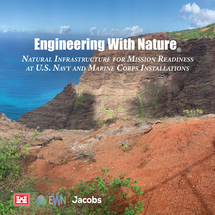
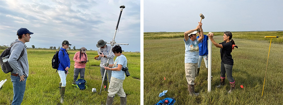
EWN researchers recently conducted a comprehensive site assessment for a forthcoming wetland Beneficial Use of Dredged Material (BUDM) placement in southern New Jersey. This research initiative, undertaken in collaboration with researchers from LSU and Villanova University, aims to support the US Army Corps of Engineers – North Atlantic Division (USACE-NAP) and The Wetland Institute in their efforts to enhance coastal resilience and environmental sustainability.
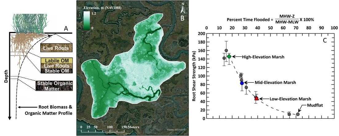
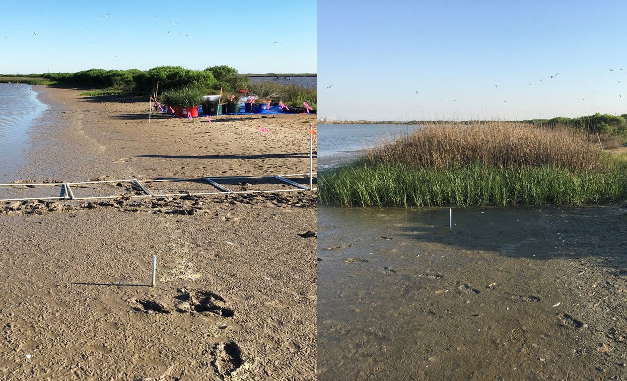
Beneficial Use of Dredged Material (BUDM) plays a crucial role in bolstering degraded wetlands, fortifying them against threats such as sea-level rise and sediment scarcity. It also provides practical disposal solutions for dredging operations during routine channel maintenance. Despite the evident advantages of BUDM, there is a significant knowledge gap concerning how hydraulically dredged sediment evolves over time in environments that are inaccessible for extended periods following placement. During this period, the placement site undergoes substantial geomorphological changes, including sediment dynamics, formation of tidal creeks, and shifts in vegetation.
In response to these challenges, the research team conducted a site assessment at the Scotch Bonnet wetland BUDM placement site in New Jersey. Scotch Bonnet is adjacent to The Wetlands Institute, which is experiencing rapid deterioration due to insufficient surface elevations. To address this degradation, the USACE-NAP district is preparing for a BUDM placement using nearby channel sediment to elevate surface levels, helping the site better adapt to rising sea levels.
The recent site assessment involved two critical activities:
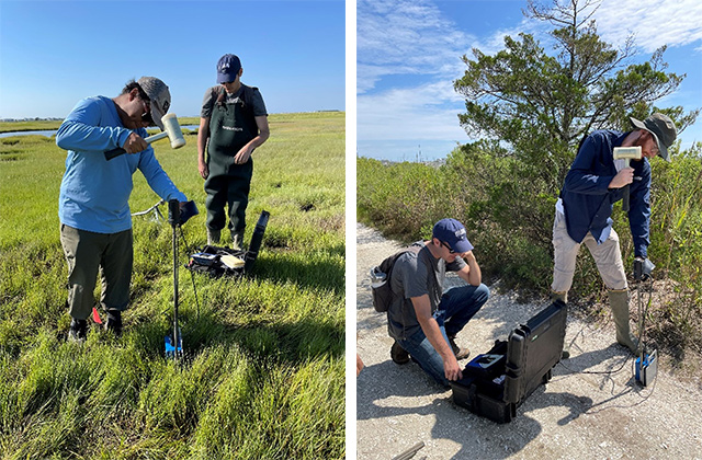
- Soil Assessment: We conducted cone penetrometer tests (CPTs), dynamic cone penetrometer (DCP) tests, and soil core sampling to understand soil characteristics, stratigraphy, and surface conditions.
- Monitoring System Layout: We determined the layout and placement of future monitoring systems, which will include surficial time-lapse cameras, SPIscan cameras for belowground changes, NDVI sensors, UAS-based lidar and photogrammetry surveys, satellite-based InSAR, and proprietary embedment sensors currently in development. These monitoring methods will be instrumental in tracking the construction and early geomorphic development of back-bay BUDM projects.
Expanded Restoration Efforts:
In addition to the BUDM placement, further stages of restoration are in progress. One notable effort seeks to elevate The Wetland Institute’s access road, which frequently experiences tidal inundation. While on-site, our team also conducted dynamic cone penetrometer tests along the roadway to assess its bearing capacity and identify potential hazard areas requiring additional attention during the restoration process.
This ongoing research effort represents a significant stride in advancing our understanding of BUDM placement and its role in enhancing coastal resilience and environmental sustainability. Through collaboration and innovation, we are actively working to develop and validate cost-effective monitoring methods that will contribute to the success of future wetland restoration projects.
