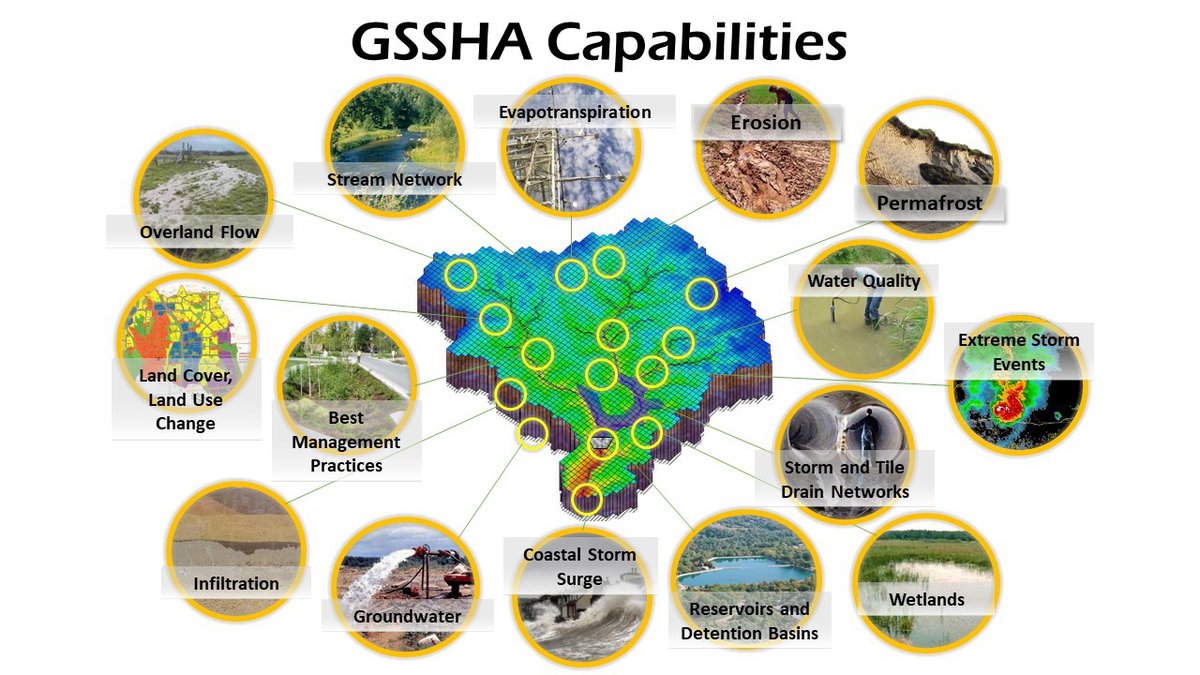
Gridded Surface Subsurface Hydrologic Analysis (GSSHA) is a physics-based, distributed, hydrologic, sediment and constituent fate and transport model. Features include two dimensional (2-D) overland flow, 1-D stream flow, 1-D infiltration, 2-D groundwater, and full coupling between the groundwater, shallow soils, streams, and overland flow. Sediment and constituent fate and transport are simulated in the shallow soils, overland flow plane, and in streams and channels. GSSHA can be used as an episodic or continuous model where soil surface moisture, groundwater levels, stream interactions, and constituent fate are continuously simulated. The fully coupled groundwater to surface-water interaction allows GSSHA to model basins in both arid and humid environments.
GSSHA Tutorial and Training Videos are now on YouTube


