
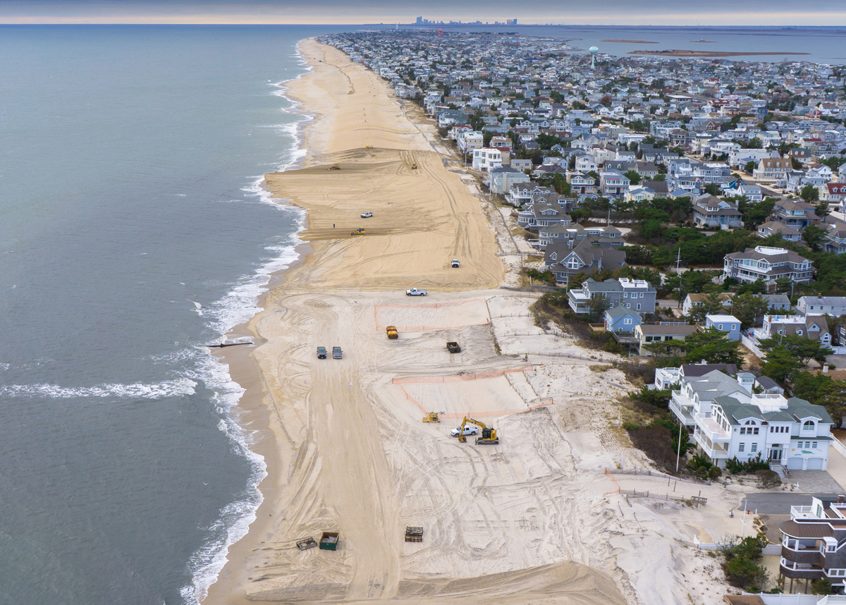
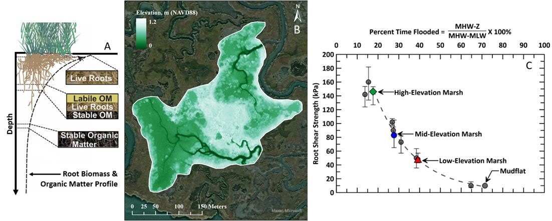
This project will refine remote sensing techniques to monitor morphological and ecological trends of beneficial use of dredged material (BUDM) sites over time. Providing USACE with reliable methods to monitor BUDM sites will provide the confidence needed to initiate more BUDM projects, which in turn will help USACE to reach their goal of using 70% of dredged material beneficially by 2030.
Seven Mile Island Innovation Lab
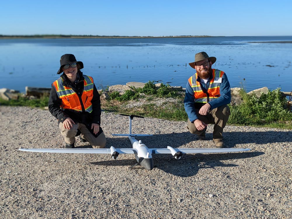
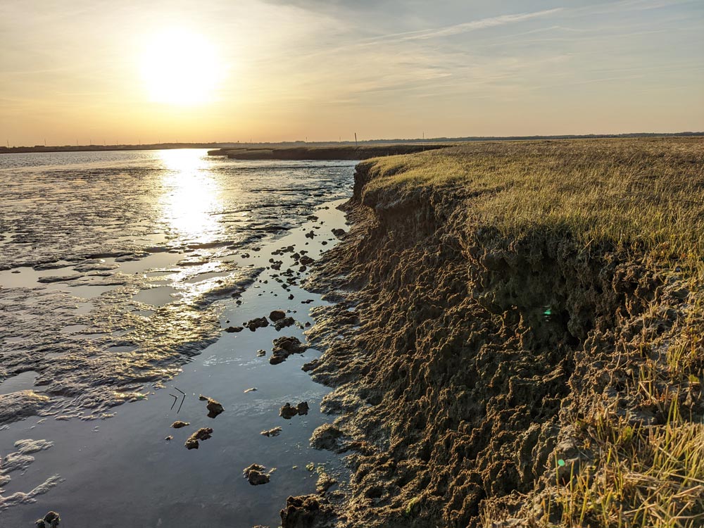
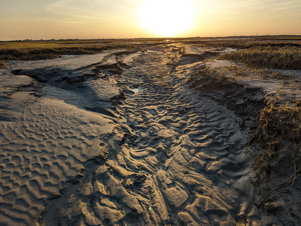
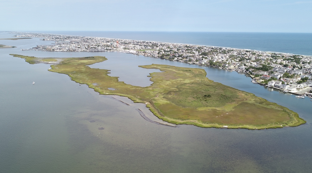
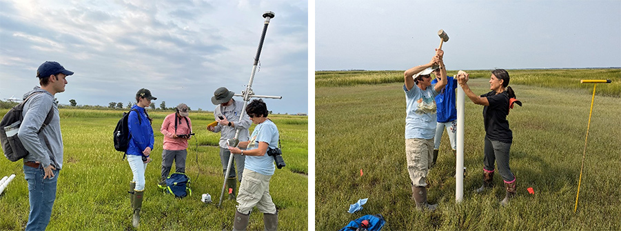
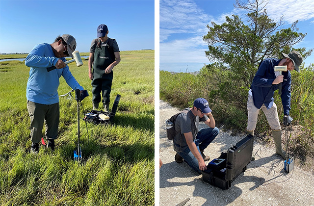
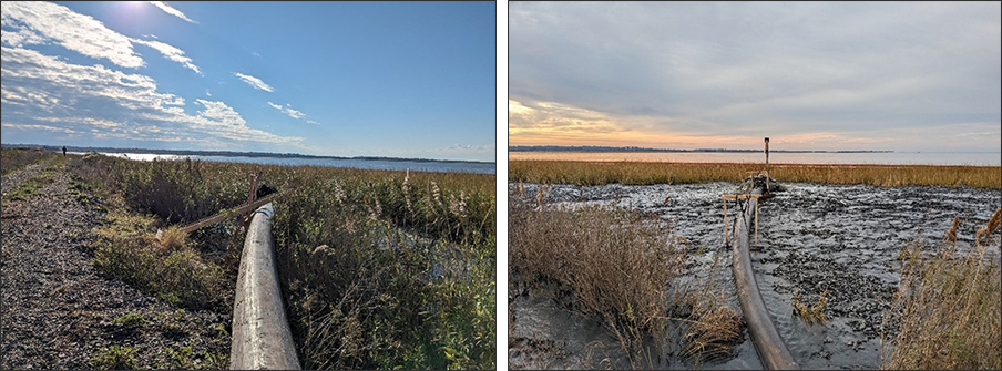
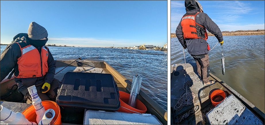
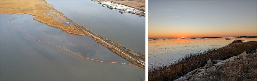
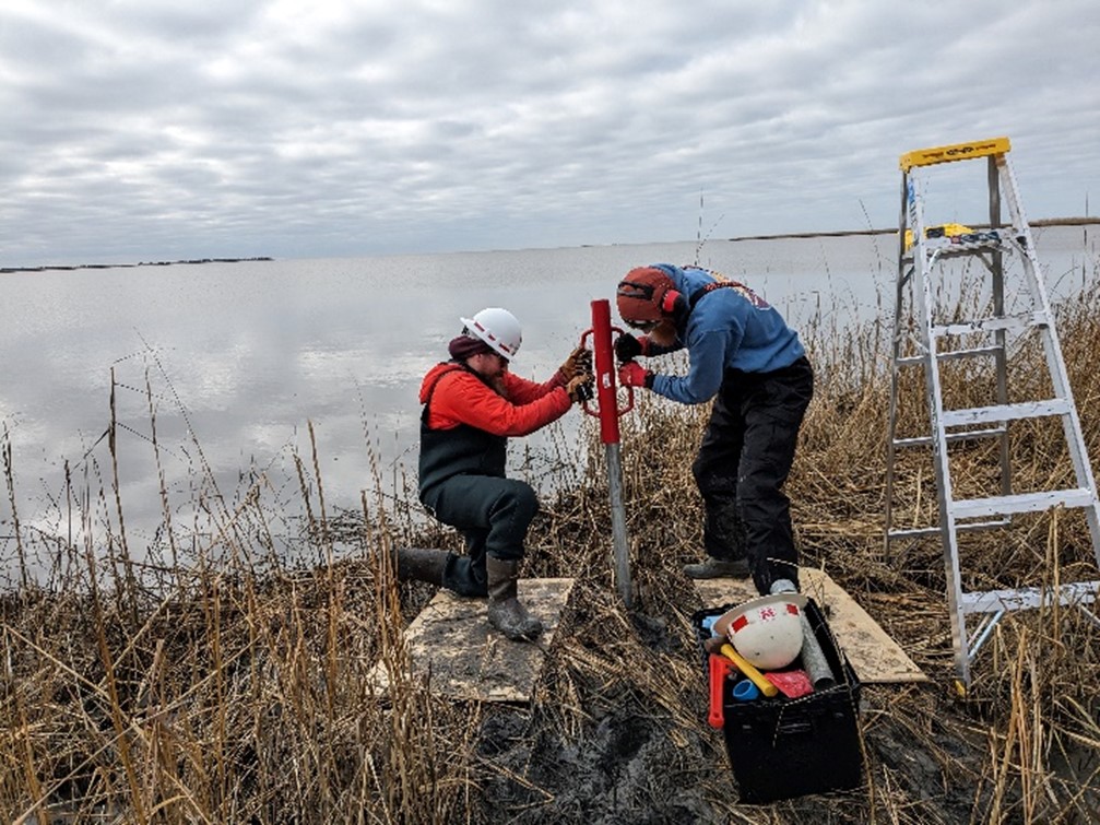
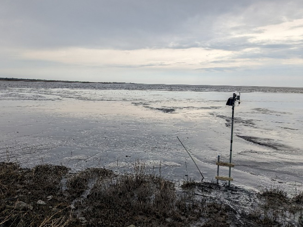
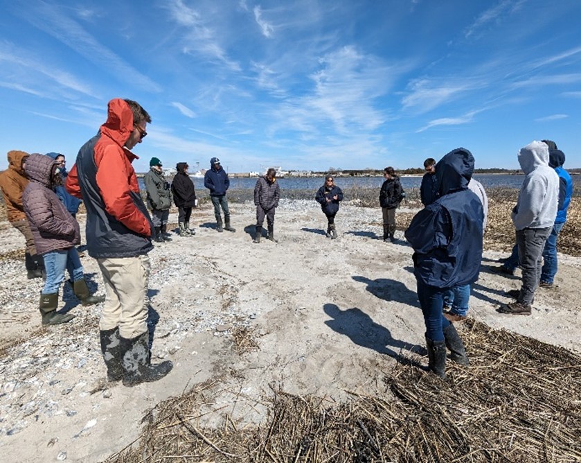
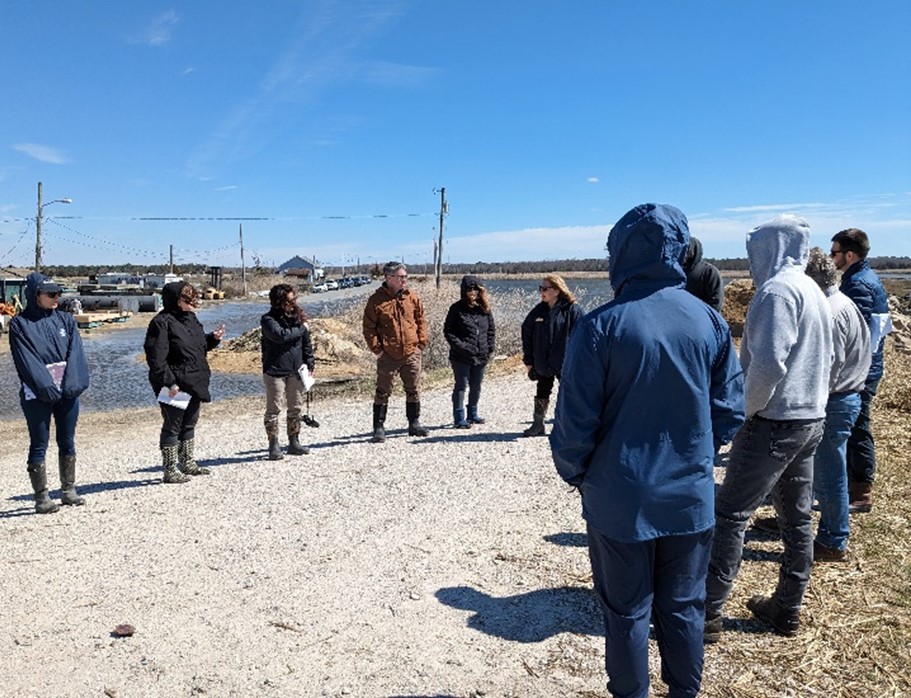
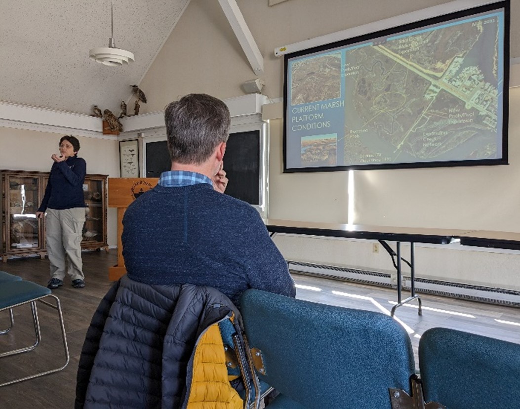
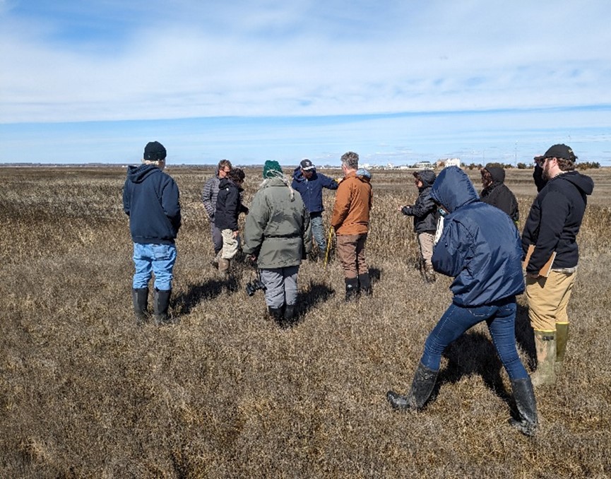
The U.S. Army Corps of Engineers, in collaboration with partners, is utilizing remote sensing to monitor the restoration of back-bay areas following sediment nourishment, as part of efforts to enhance coastal resilience. This work is connected to the Seven Mile Island Innovation Lab (SMIIL) in Cape May County, N.J., where innovative techniques in dredging and marsh restoration are being developed and tested. These efforts support long-term ecosystem health while providing valuable insights for future restoration projects.
Learn more about the collaborative work at Seven Mile Island Innovation Lab, https://wetlandsinstitute.org/smiil-2-2/.
