
Network for Engineering With Nature (N-EWN) Inaugural Partner’s Symposium
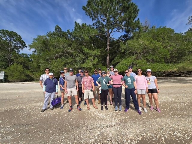
The inaugural Network for Engineering With Nature (N-EWN) Partner’s Symposium, held from May 22-24, 2024, in St. Augustine, Florida, successfully brought together over 170 attendees from 28 partner organizations, marking a milestone for the Network. This gathering facilitated more complete introductions across partner organizations who shared knowledge to advance the adoption of nature-based solutions (NBS) […]
Book Launch: New Volume Showcases Nature-Based Solutions Around the World
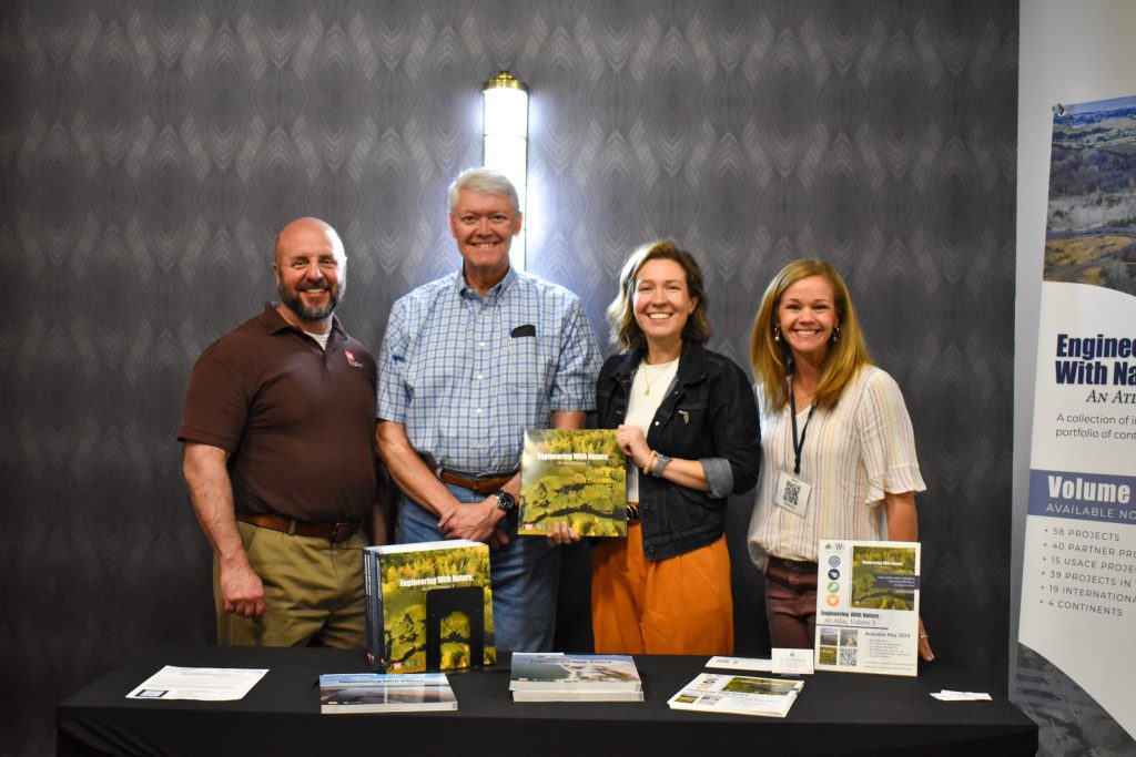
We are pleased to announce the release of Engineering With Nature: An Atlas, Volume 3. Release Date: May 22, 2024 View the 22 May 2024 press release from the US Army Engineer Research and Development Center. Building on the success of its predecessors, the newest volume of the Engineering With Nature (EWN) Atlas continues to […]
Advancing Nature-Based Solutions: A Key Focus for US Army Corps of Engineers (USACE)
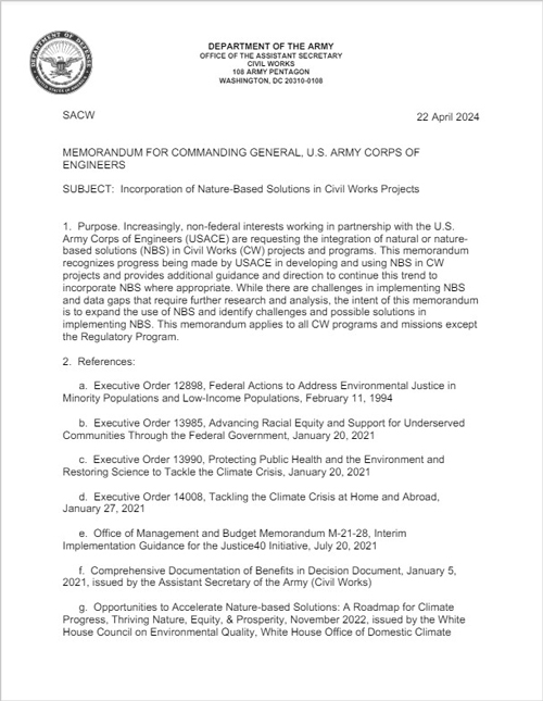
In a recent memo, the US Army Assistant Secretary for Civil Works, Michael Connor, emphasized the increasing need to integrate nature-based solutions (NBS) in Civil Works (CW) projects. Recognizing the importance of this approach, the memo provides guidance and direction to continue leveraging NBS where appropriate, highlighting the critical role of Engineering With Nature (EWN) […]
Surveying Beneficial Use of Dredged Material Placement Sites at the Philadelphia District
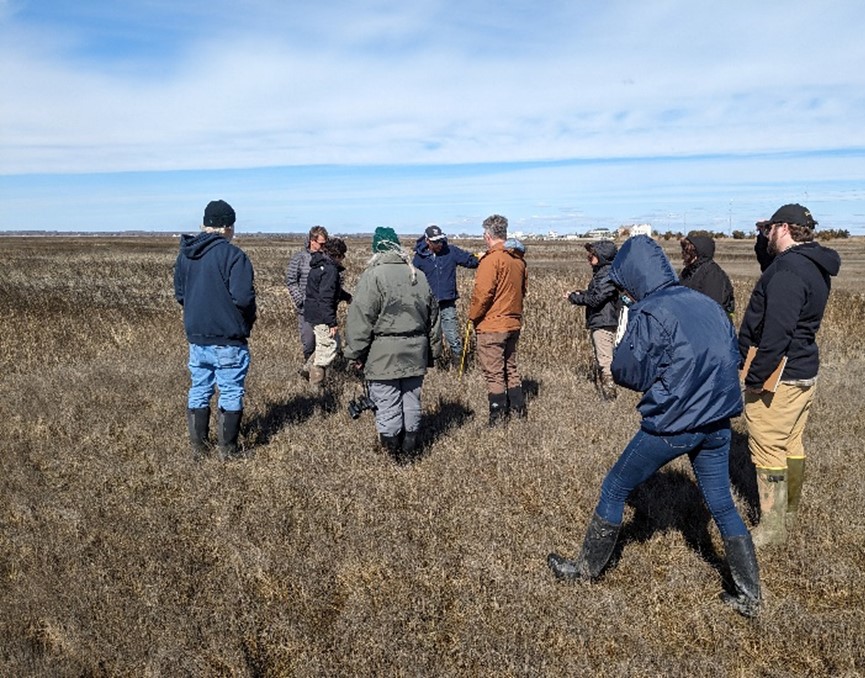
Dr. Brian Harris, a Research Civil Engineer with the Engineer Research and Development Center’s Coastal and Hydraulics Laboratory, took a temporary detail with the USACE Philadelphia District (USACE-NAP), co-leading two site visits of Beneficial Use of Dredged Material (BUDM) projects, funded by the Engineering With Nature Program and the Philadelphia District. The first project is […]
Signed: A New Memorandum of Understanding with the National Institute of Standards and Technology to Collaboratively Quantify Nature’s Benefits for Human Well-Being

A process to incorporate the benefits of nature for human well-being will help USACE achieve more comprehensive benefits accounting and therefore more informed project evaluation. Ideally, this work, in combination with related EWN research, will continue to increase USACE’s ability to deliver projects that meet the expressed interests of non-federal sponsors and will support important […]
Join ERDC Live this week with EWN’s Dr. King & Dr. Tritinger
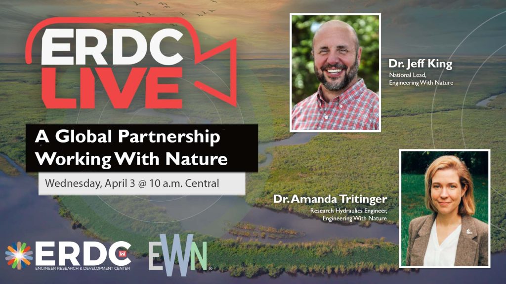
Please join us Wednesday, April 3 at 10 a.m. Central for the next ERDC Live as we welcome Drs. Jeff King and Amanda Tritinger from the U.S. Army Corps of Engineers Engineering With Nature® program, an innovative nature-based research program that was fostered at ERDC and has grown to become an initiative with global reach. […]
National Nature Assessment Chapter Leadership Team Announced

Dr. Safra Altman from the Engineer Research and Development Center’s Environmental Laboratory (EL) has been appointed as a Federal Coordinating Lead Author for the first ever US National Nature Assessment (NNA). Joining her are Drs. Kyle McKay and Margaret Kurth, representing the Department of Defense (DoD) on the NNA Federal Steering Committee. The National Nature […]
EWN Bolsters Army Resilience Efforts
Army missions face a myriad of challenges stemming from natural hazards and aging infrastructure necessitating innovative and integrated solutions. In a recent engagement at the University of Georgia (UGA), the Honorable Ms. Rachel Jacobson (ASA IE&E) recognized a need to increase Engineering With Nature (EWN) support across Army installations. By integrating natural infrastructure projects, installations […]
CorpsCam Station Deployed to Monitor Beneficial Use of Dredged Material (BUDM) Nourishment in New Jersey
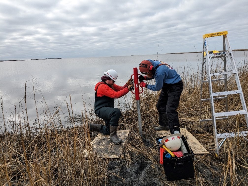
The Heislerville Dike in New Jersey’s Heislerville Wildlife Management Area faced imminent failure due to wave action, prompting the USACE Philadelphia District (NAP) to undertake a Beneficial Use of Dredged Material (BUDM) nourishment project in FY 24. NAP’s goal was to enhance the wetlands adjacent to the dike to provide a buffer from the wave […]
Remote Sensing to Elevate Nature-Based Solutions for USACE
USACE is quantifying the impact of nature based solutions by using remote sensing technology in the Engineering With Nature project approach. From initial planning stages to implementation and operations, intentional technology integration can revolutionize our understanding of the value of NBS. Advances in remote sensing technology enable practitioners to assess NBS project-relevant details across large […]