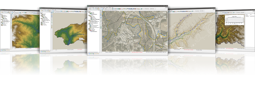

The Watershed Modeling System (WMS) is a complete watershed modeling system that enables engineers to create watershed management designs and test them in multiple hydrologic simulators. WMS is developed by Aquaveo, LLC, in partnership with the US Army Corps of Engineers.
Data Model
The heart of WMS is creating a data model that represents the features of your watershed. WMS is able to download and/or read a wide variety of elevation, land use, soils, imagery, and many other data types for use in your project. WMS builds a data model of your watershed that it can then turn into the inputs for hydrologic and hydraulic simulators.
Hydrologic Models
WMS supports building model input files for a variety of hydrologic and hydraulic models. These include both 1D and 2D models, including HEC-RAS, HEC-HMS, GSSHA, HSPF, and several others. The models can span the range of rainfall-runoff simulators, channel flow simulators, and even storm drainage simulators.
Engineering With Nature
WMS can support a wide variety of watershed management scenarios that include EWN-centric watershed engineering methods. For example, constructed wetlands, infiltration basins, conservation management zones, cropping and tilling practices, local stormwater capture basins, and beaver dam analogs. For more information see the GSSHA WMS EWN Workshop.
Training and Tutorials
Aquaveo has an extensive set of tutorials (https://www.aquaveo.com/software/wms-learning-tutorials) that are free to access and use. USACE users can receive support from USACE WMS subject matter experts. Please contact Charles Downer via email for support.
Licensing
Licenses for USACE users and direct contractors are free of charge. WMS can be downloaded from the Aquaveo website, https://www.aquaveo.com/downloads, or from the USACE ESD available software website. USACE users can contact Cassandra Ross to request WMS licenses.


