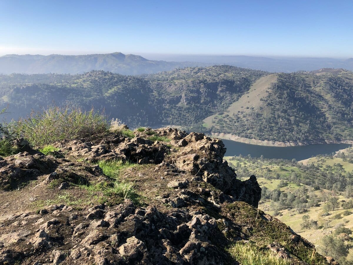
I’ve spent a lot of wonder-filled time in the landscapes of the central Sierra Nevada. The Sierra Nevada range is about 400 miles long and 50 miles wide and runs along the state’s eastern boundary.
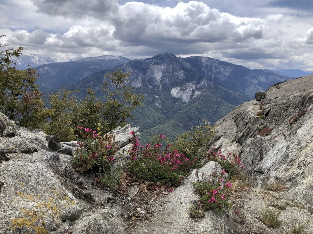
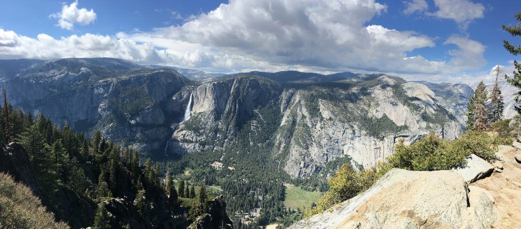
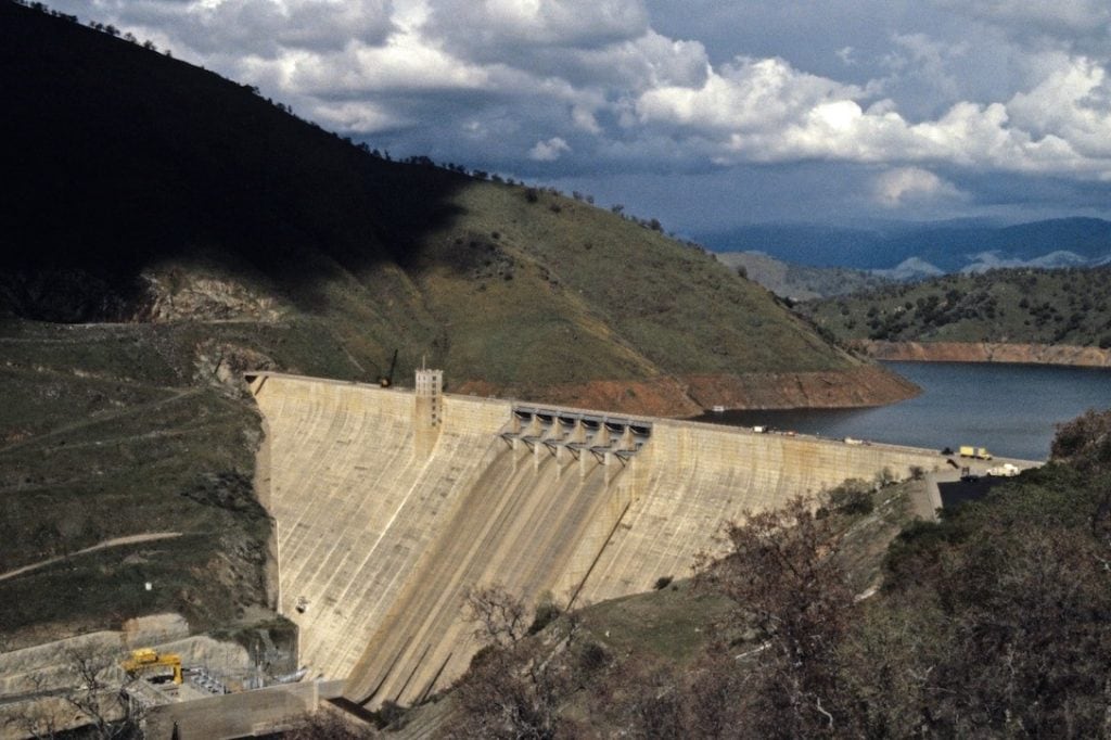
A one-hour drive from my childhood home in the San Joaquin Valley could get us to 6,000+ feet in the mountains. The range covers about 25% of the state’s land area and is home to the world’s largest tree (a giant sequoia named General Sherman), North America’s largest alpine lake (Lake Tahoe), the highest mountain peak in the contiguous United States (Mount Whitney, at 14,505 feet), and three of the most beautiful places in the West, or anywhere, to my (admittedly) native-Californian eye (Yosemite, Sequoia, and Kings Canyon National Parks). In addition to its many natural wonders, the Sierra Nevada range is also home to about 100 reservoirs that are operated by a slew of federal, state, and local agencies as well as private entities.
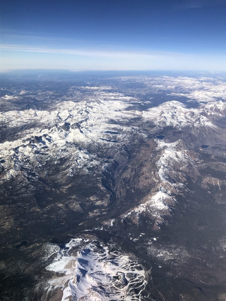
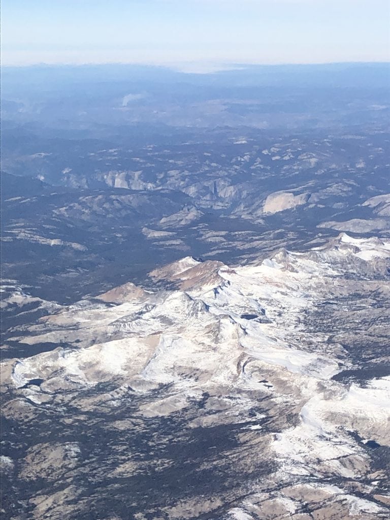
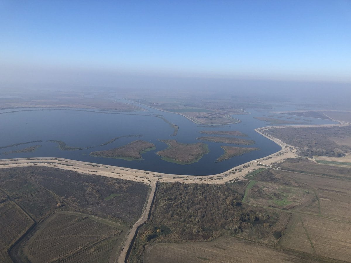
California’s mountain landscape plays a significant role in its weather and hydrology through what is called orographic precipitation: air rising and moving over a mountain undergoes adiabatic cooling, condensing water vapor into clouds and precipitation. The Sierra Nevada range supports much of the life and economy of the state in that it receives about 60% percent of California’s precipitation in the form of rain and snow. The name Sierra Nevada literally means “snowy mountains”. California’s climate is characterized by a cycle that swings between wet and dry periods, from flooding to drought, and investments in water infrastructure in the 20th century were made to buffer these swings. In any given year, the state will receive between 100 and 300 million acre-feet (MAF) of precipitation (1 acre-foot equates to 325,851 gallons).
Given the large swings and variation in precipitation that characterize the state’s climate, swings that are being intensified by climate change, consideration of the “average year” carries diminished meaning and value. Nevertheless, when California receives 200 MAF of precipitation, about 65% percent (130 MAF) of this precipitation evaporates or is transpired by plants. Of the remaining water (70 MAF), 50% runs through California’s rivers, 40% goes to agriculture, and the remaining 10% is allocated to urban use. Of the roughly 30 MAF that goes to agriculture, 60% is consumed within the San Joaquin Valley, one of the most productive agricultural landscapes in the country or the world.
Another set of California water facts is worth mentioning here. Seventy-five percent of California’s rain and snow falls in the northern third of the state (north of Sacramento), whereas 80% of the demand for water in the form of agriculture and people resides in the southern two-thirds of the state—a circumstance referred to as “misplaced rain” by the Work Projects Administration in a description of the Central Valley (water) Project published in 1942.
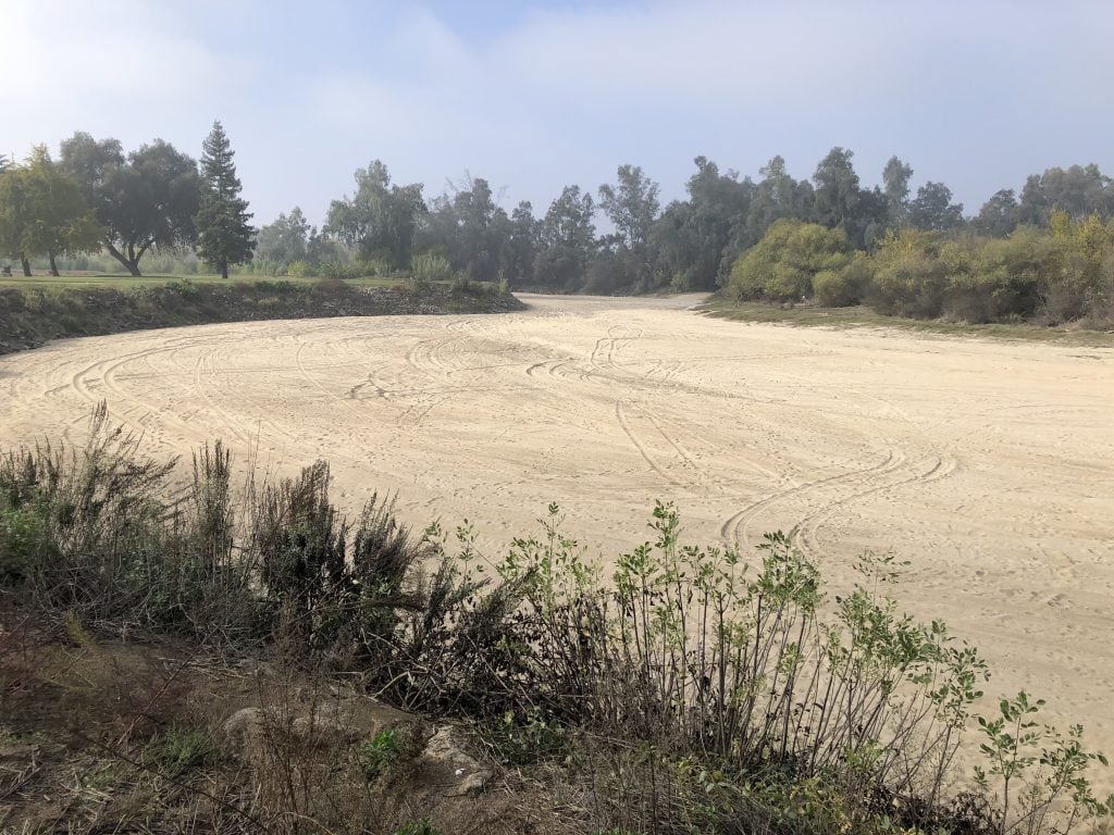
The landscape is not a static canvas that we occupy. Landscapes represent a dynamic equilibrium that evolves over millennia in response to a host of interacting processes involving geology, climate, weather, hydrology, and ecology. The landscape itself is a natural force in this process, influencing the physical and biological processes that drive weather, climate, and ecosystems. Humans also affect landscapes. History documents the power of human technology and societal action to shape landscapes, intentionally and unintentionally (and perhaps carelessly), disrupting in just a few years or decades the equilibrium developed over millennia. It is also abundantly clear that landscapes affect human wellbeing, that our technology cannot make us independent of landscape, and that vital, enduring societies will seek sustainable arrangements with nature and its landscapes.